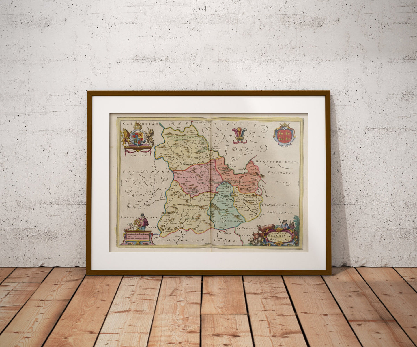
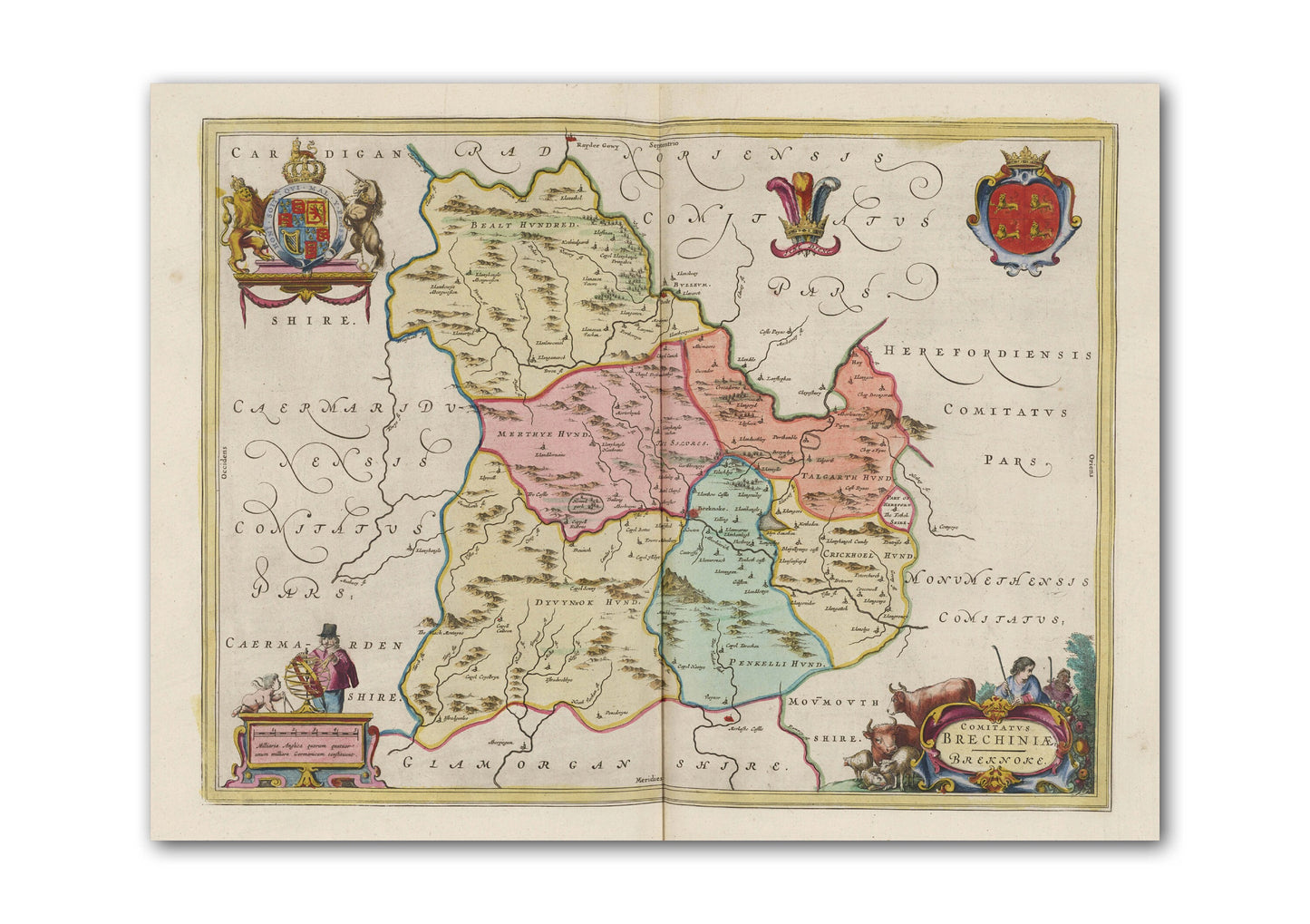
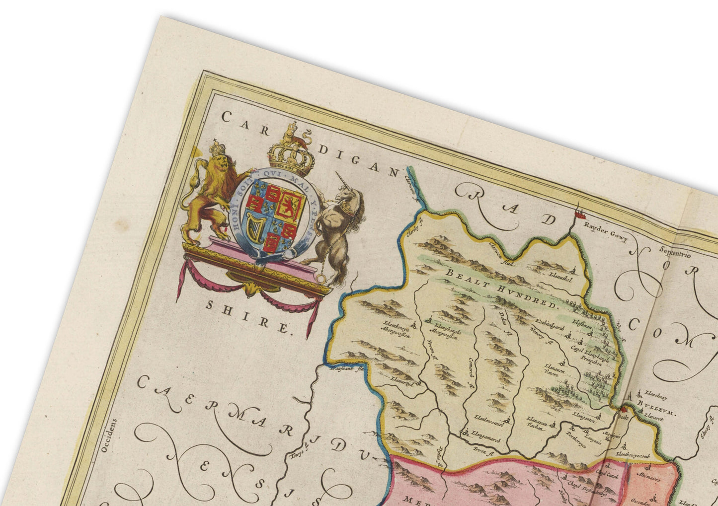
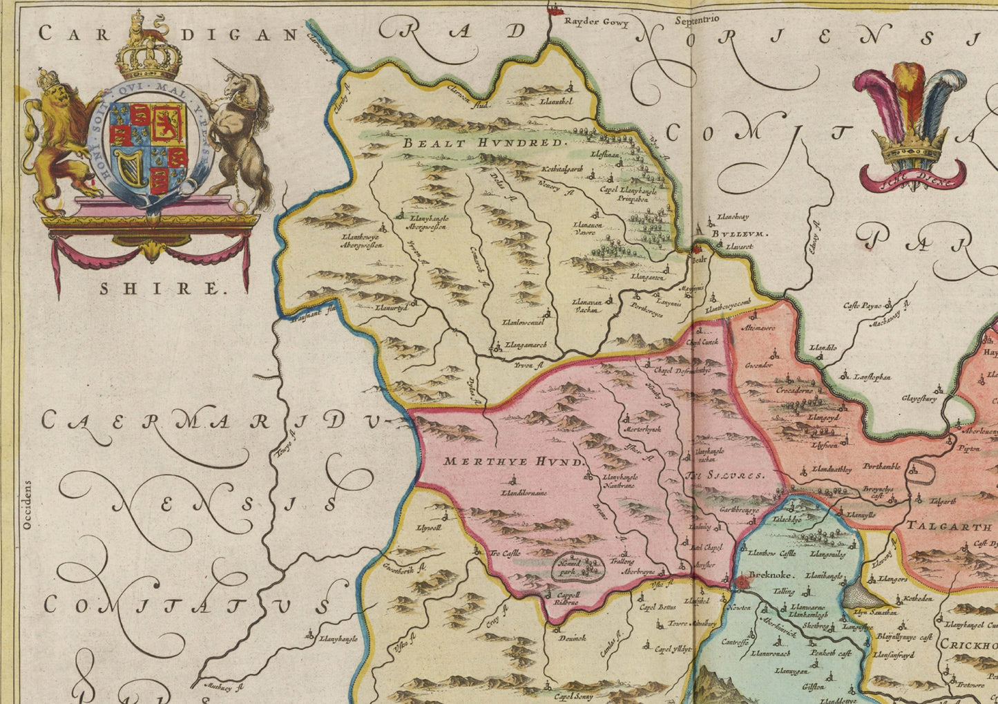
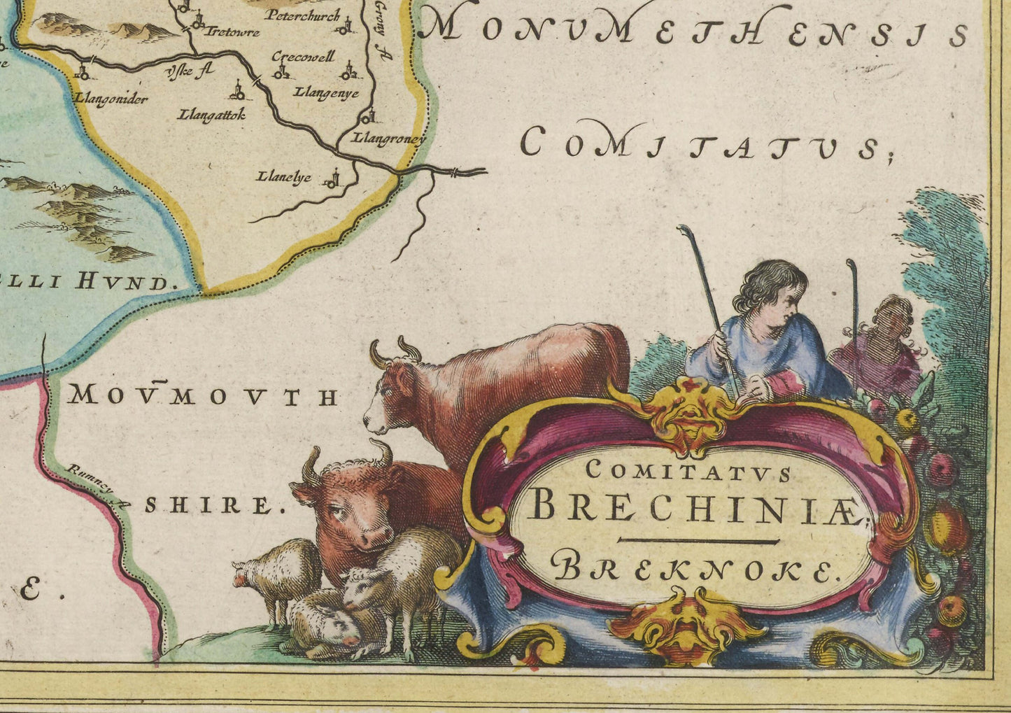
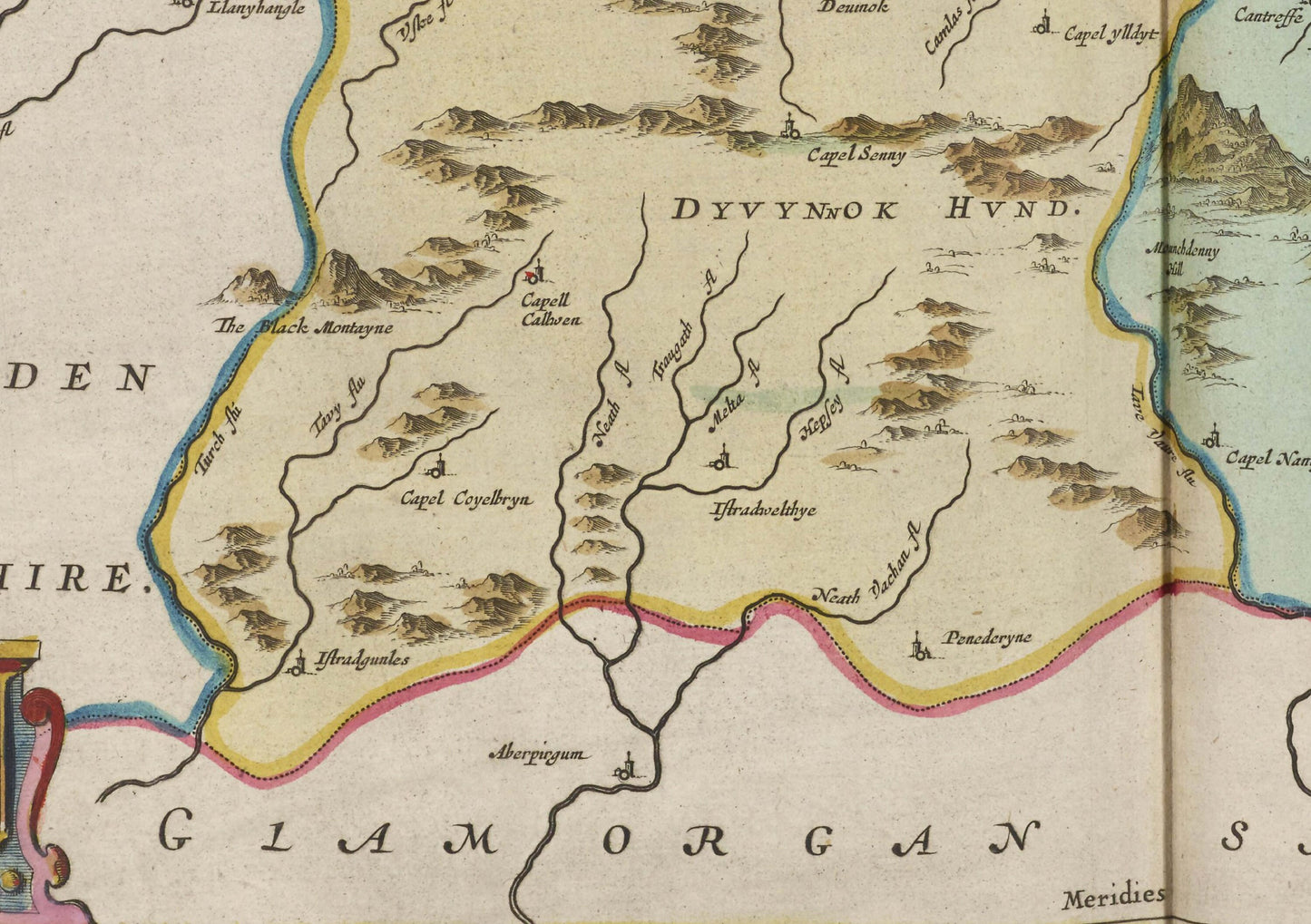
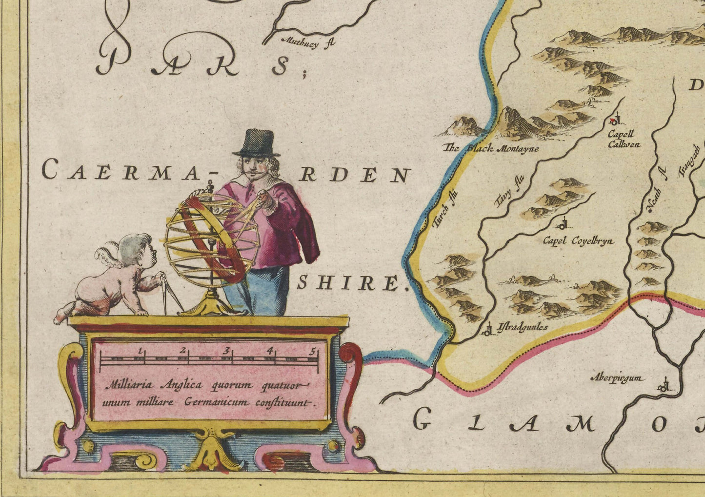
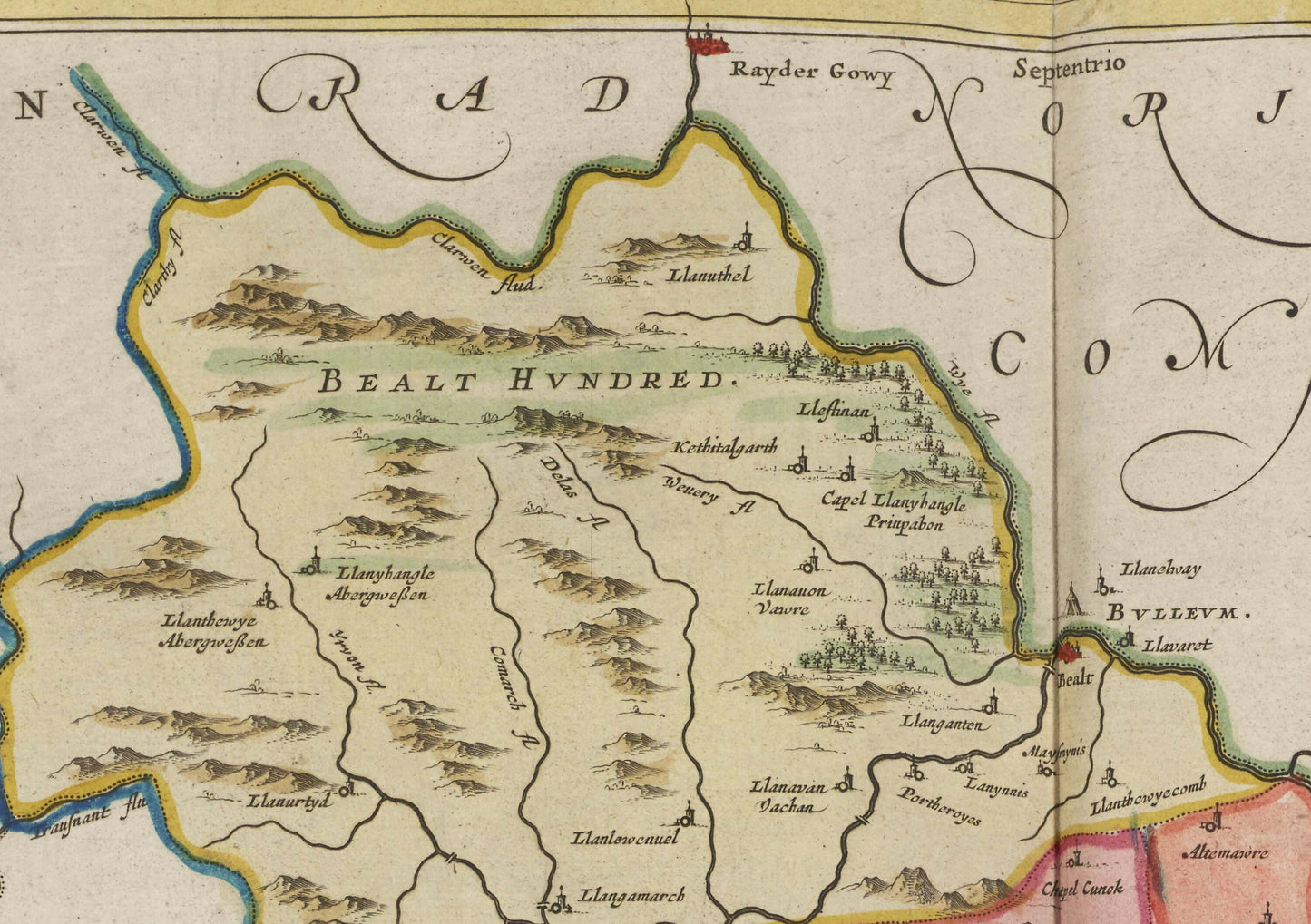
Map of Brecknockshire
This is a reproduction of an 1665 Map of Brecknock by Joan Blaeu.
Originally titled ‘Episcopatvs Dvnelmensis’, this historical map is from the Atlas Maior published in 1665 by Joan Blaeu. The map shows modern-day Abertysswg, Fernhill, Llanfoist, Aberbargoed, Llanwrtyd Wells, Brecon, Powys, Brecknock, Merthyr Tydfil, Aberdare, Pontypool, Ebbw Vale, Tredegar, Abergavenny, Pontardawe, Mountain Ash, Abertillery, Ystradgynlais, Crumlin, Blaenavon, Brynmawr, Rhymney, Blaina, Nantyglo, New Tredegar, Penywaun, Kington, Llanhilleth, Usk, Cwm, Gilwern, Pontlottyn.
Brecknockshire (Welsh: Sir Frycheiniog), also known as the County of Brecknock, Breconshire, or the County of Brecon is one of thirteen historic counties of Wales, and a former administrative county. Named after its county town of Brecon (archaically "Brecknock"), the county is mountainous and primarily rural.
Available as:
24 x 18 inches
30 x 24 inches
Available on 170gsm matt poster paper
or 200gsm silk poster paper.
*Frame not included*