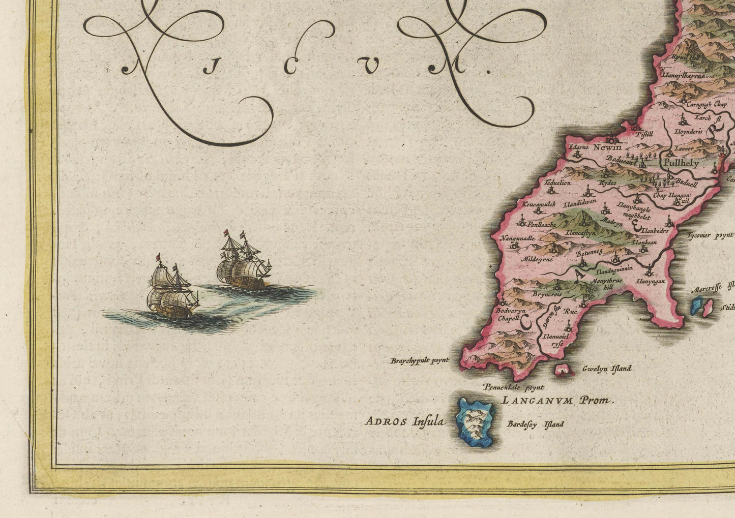
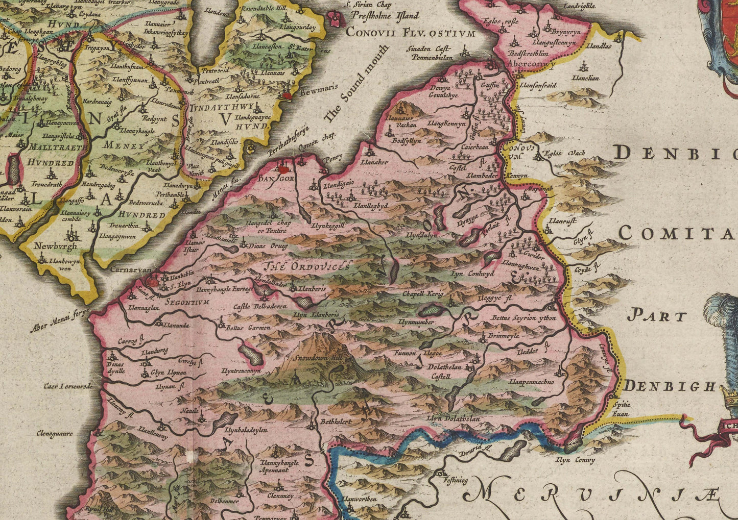
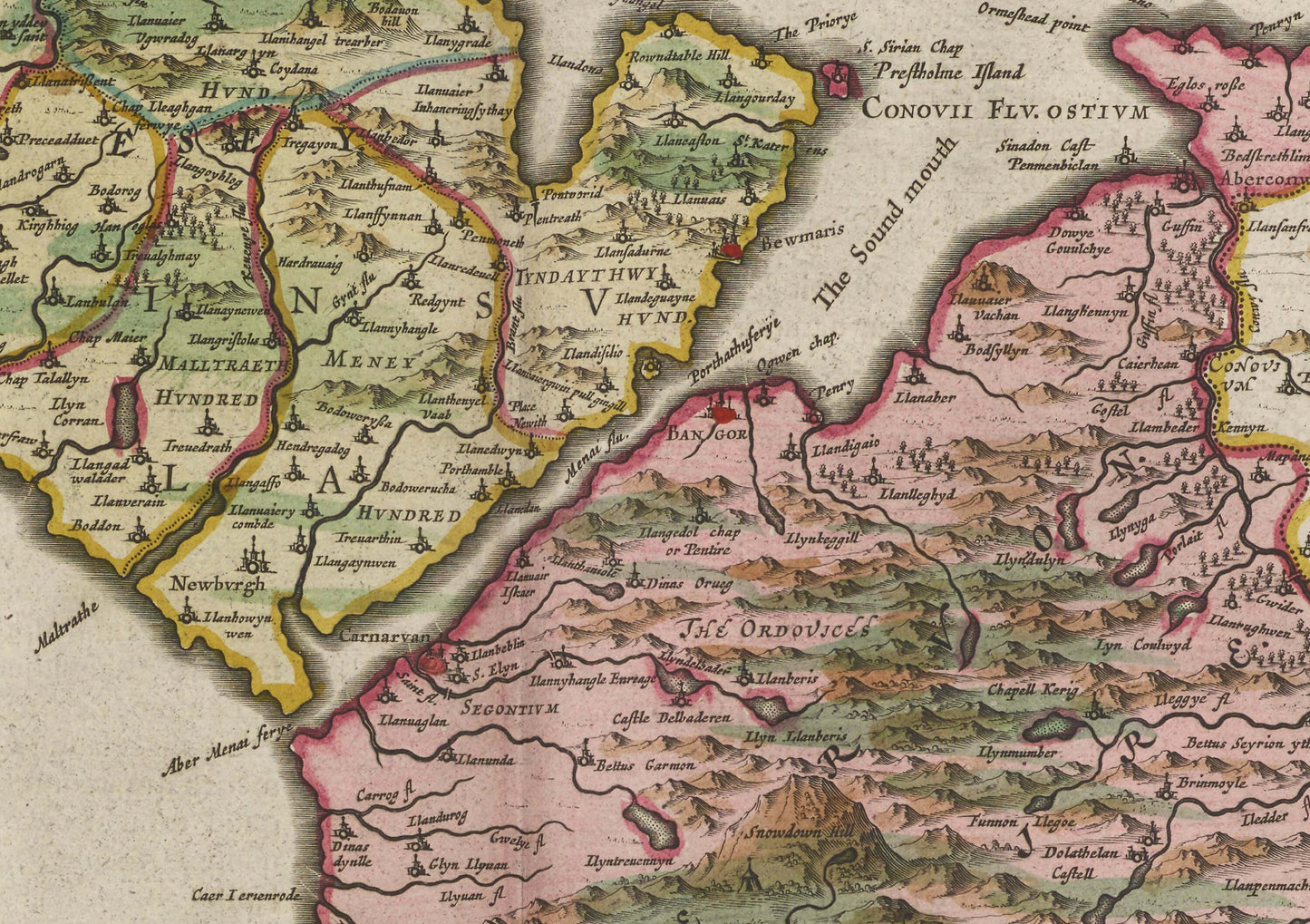
Caernarfonshire Map
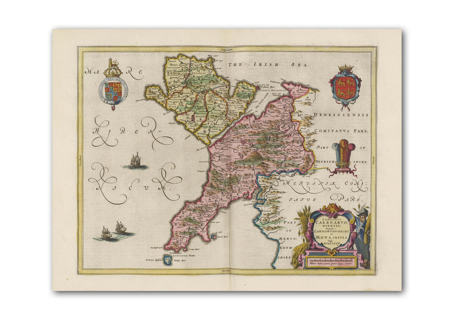
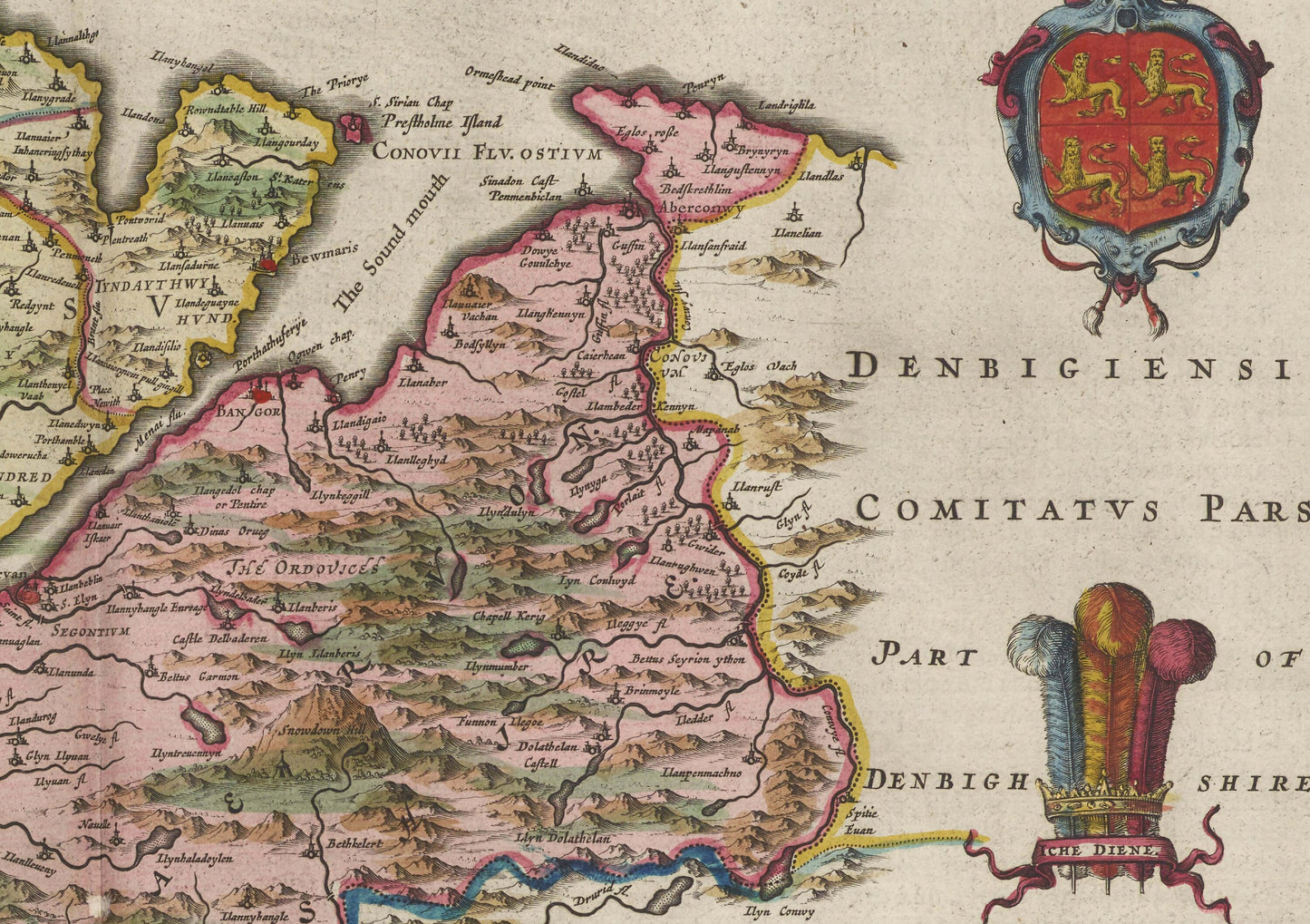
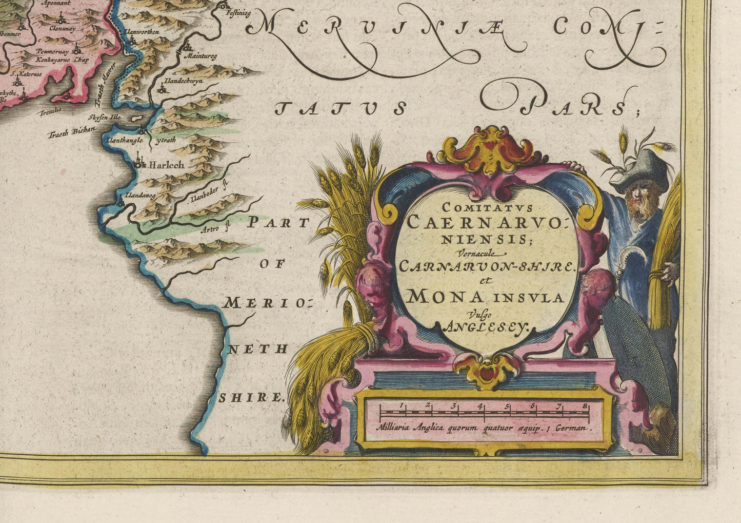
Reproduction of an old map of Wales that centres on Caernarfonshire. Originally titled ‘Comitatvs Caernarvoniensis’ it is taken from the Atlas Maior published in 1665. The map shows such places as Bangor, Prestatyn, Llandudno, Colwyn Bay, Rhyl, , Holyhead, Llandudno Junction, Kinmel Bay, Abergele, Porthmadog, St Asaph, Dyserth, Barmouth, Harlech, Bethel, Llanwnda, Cwm, Dinorwig, Caernarfon, Caernarvonshire, Snowdonia, Betws-Y-Coed, Conwy, Pwllheli, Biwmares / Beaumaris, Pentraeth, , Beddgelert, Tremadog, Dolgellau, Whitford, Rhuddla, Llangefni, Llanbedrog.
Willem Janszoon Blaeu (1571-1638) was the founder of the Blaeu publishing house and established the fine reputation of Blaeu maps. His long-standing interest in mathematics and astronomy led him to Tycho Brahe in Denmark where he learned the art of globe-making. On returning to the Netherlands, he set up a business in Amsterdam to make use of his new-found globe-making skills. The business was to develop to incorporate its own printing press and Willem Janszoon Blaeu’s first publications included sea charts in Het Licht Der Zee-Vaert in 1608 and a revised issue of Copernicus’ De Revolutionibus Orbium Caelestium.
Available as:
24 x 18 inches
30 x 24 inches
Available on 170gsm matt poster paper
or 200gsm silk poster paper.
*Frame not included*