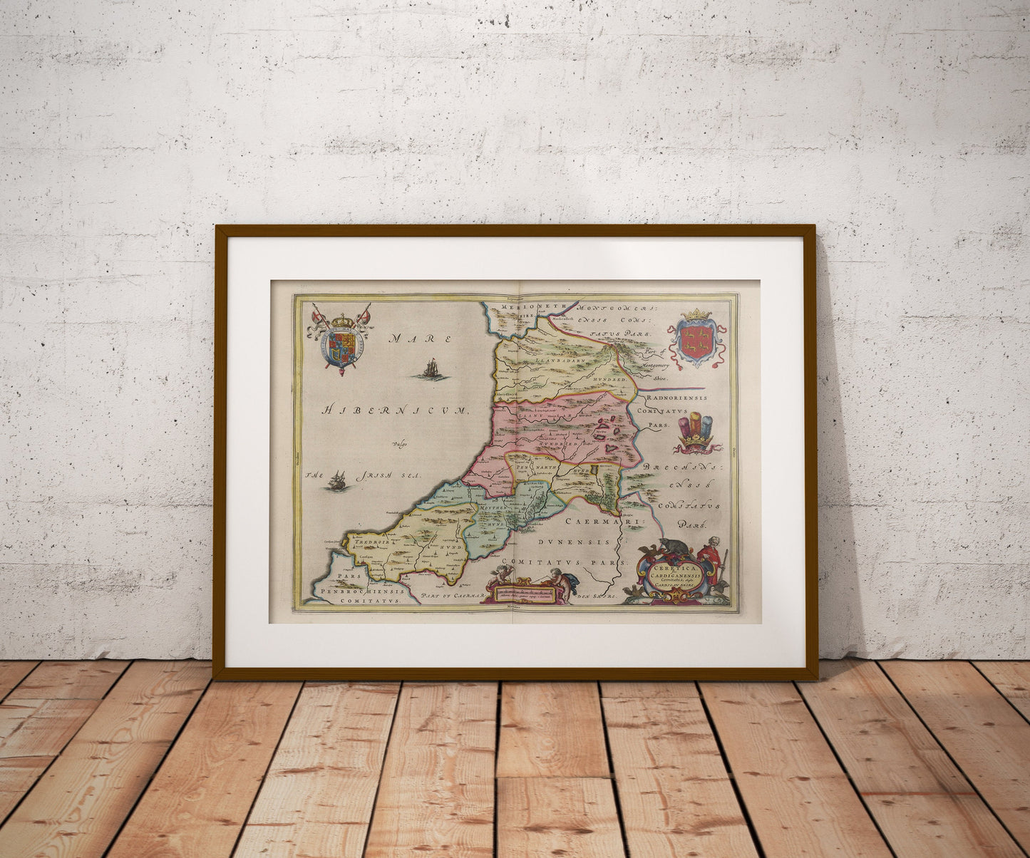
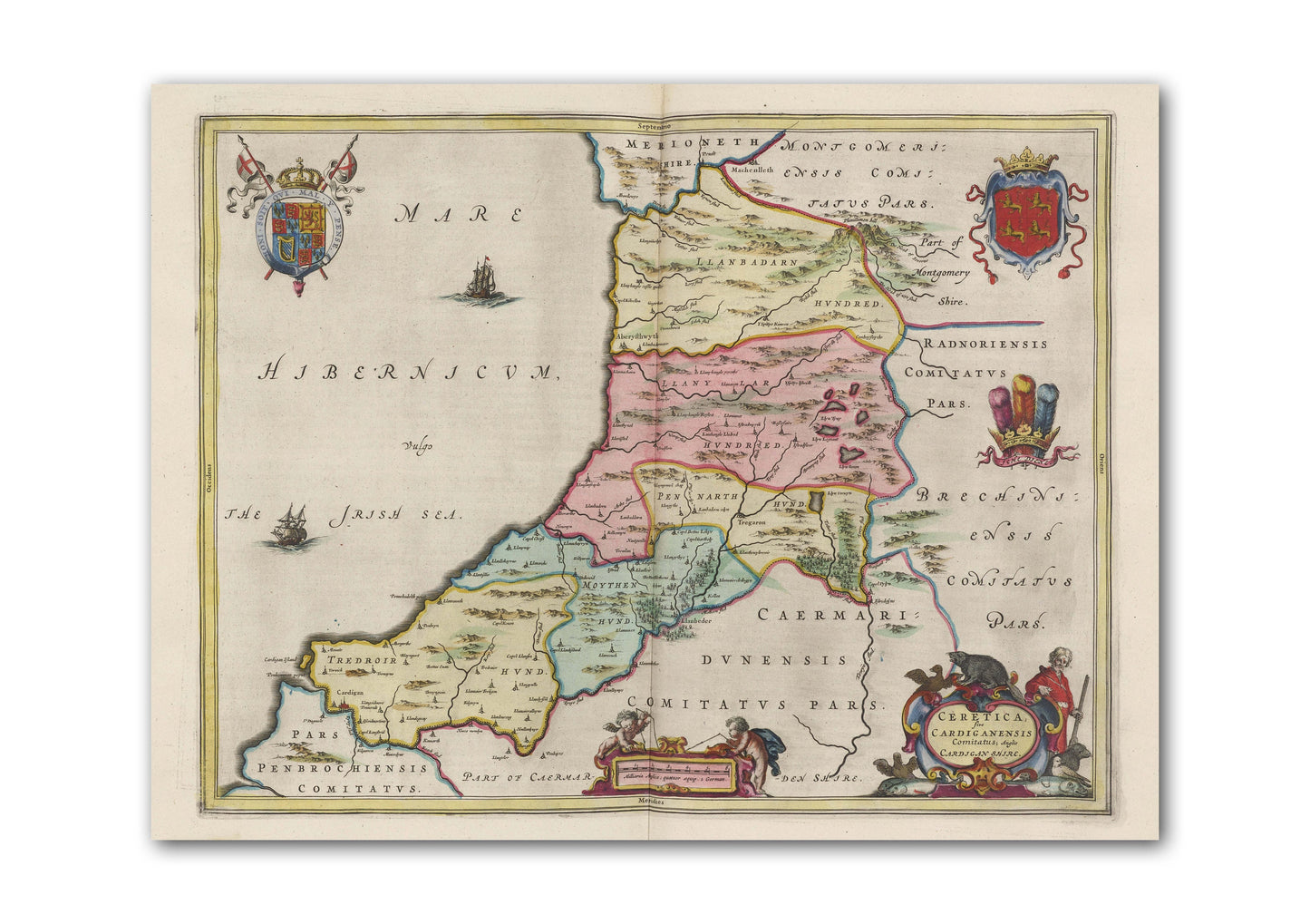
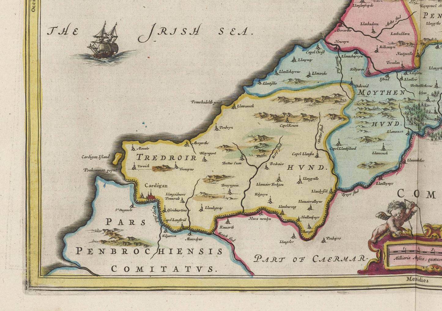
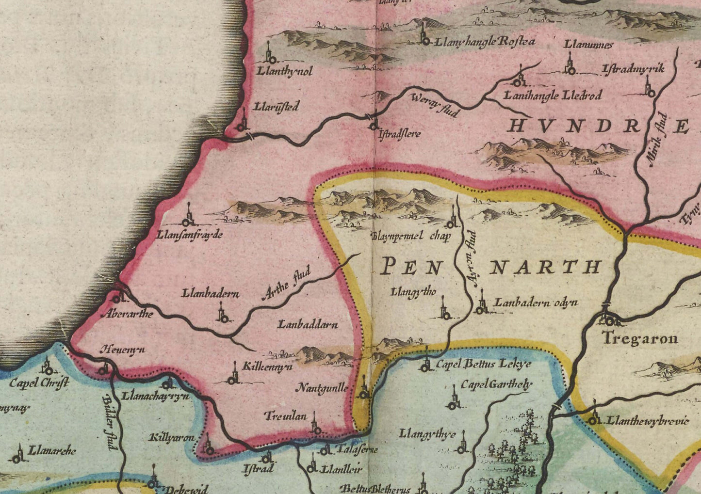
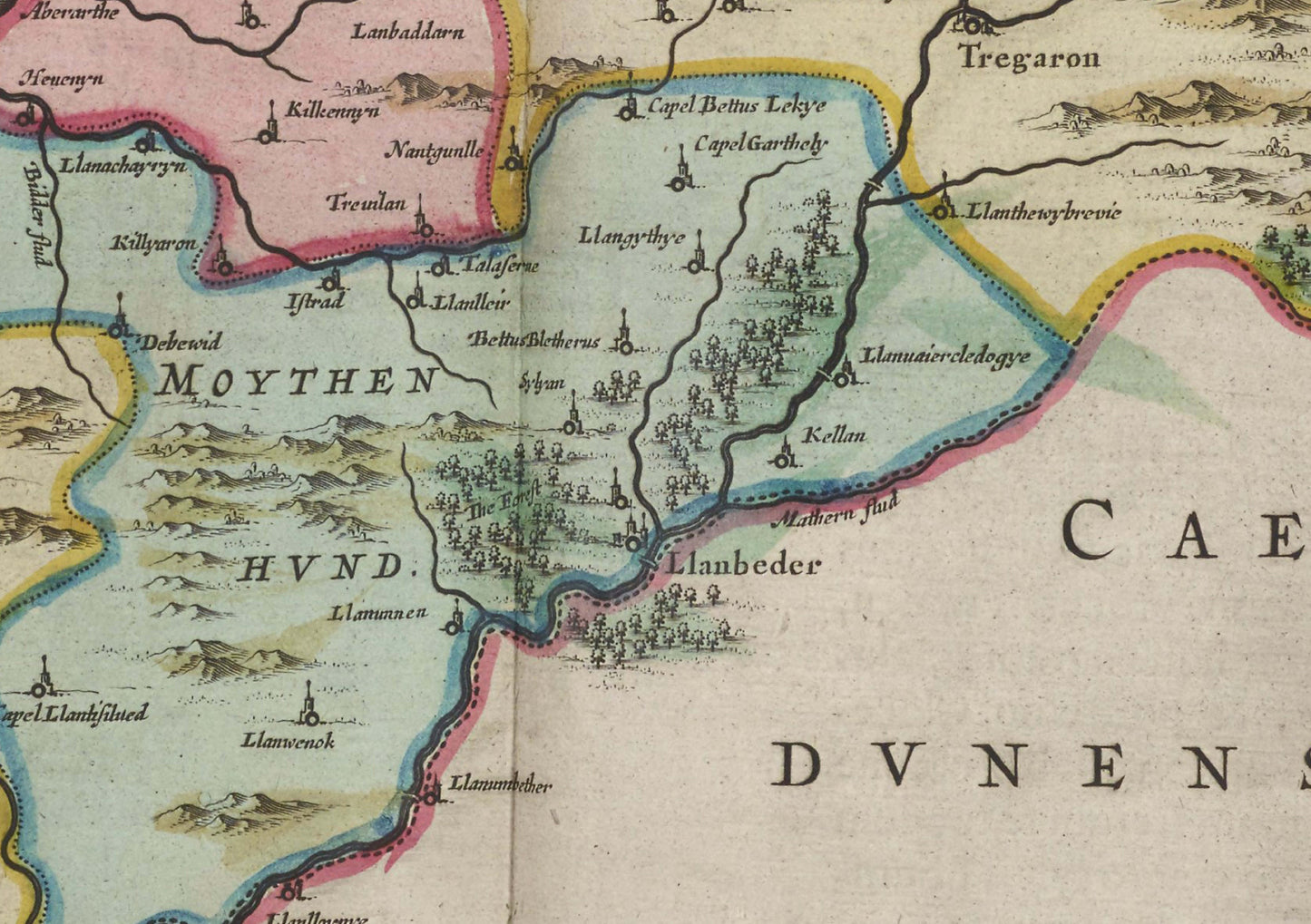
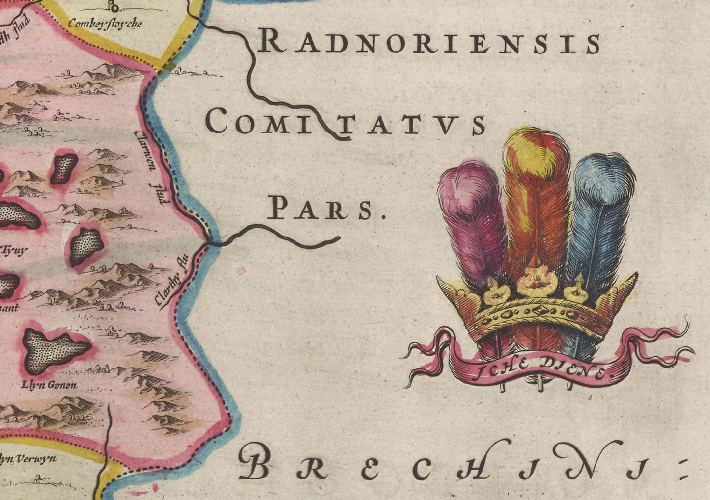
Map of Cardiganshire
This beautiful vintage map of Cardiganshire, Wales, is perfect for anyone interested in the history and geography of the region. The map is a reproduction of an old map from the 17th century, featuring intricate details and beautiful illustrations. Printed using quality ink, this map is sure to add a touch of vintage charm to any room.
----> Frame not included
Shipping:
This item will be carefully packaged and shipped within 1-3 business days after payment is received. Shipping is free within the UK.
Note to buyers:
Please note that colors may vary slightly due to different monitor settings. The map may also have minor imperfections due to its age and vintage nature. If you have any questions or concerns, please feel free to contact me.
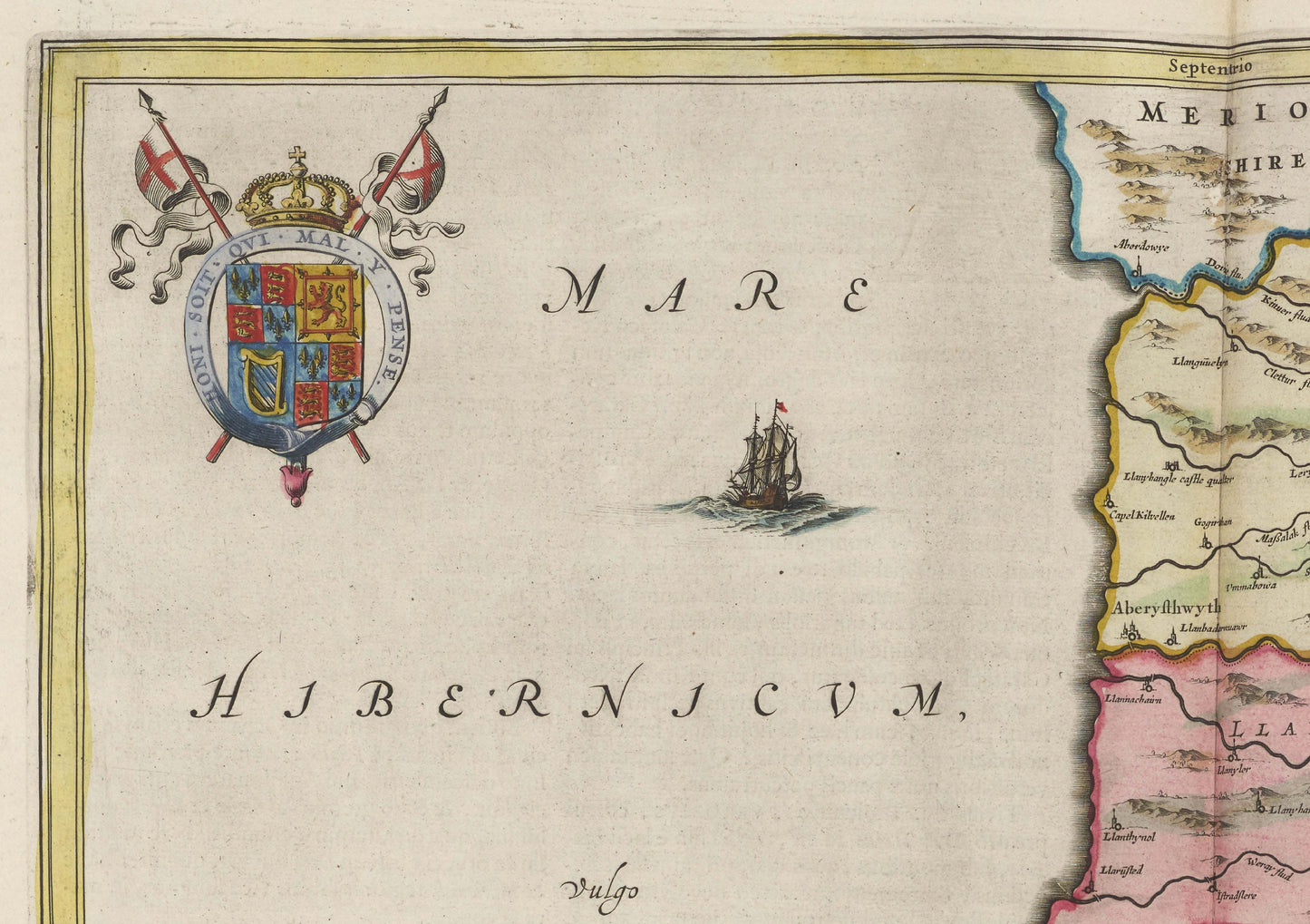
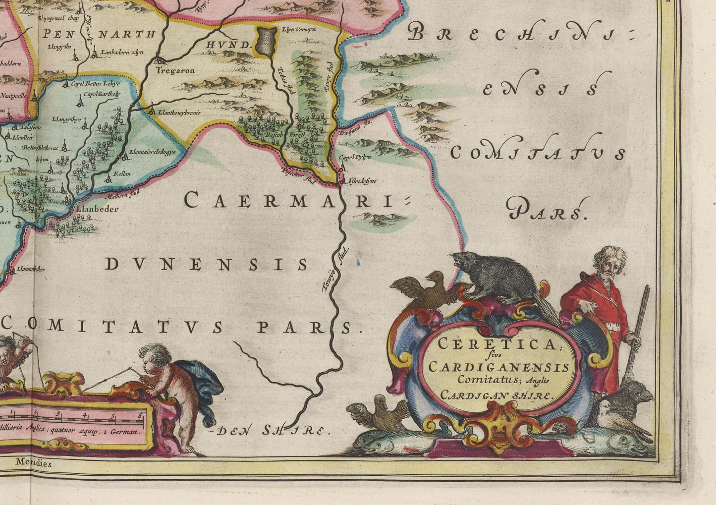
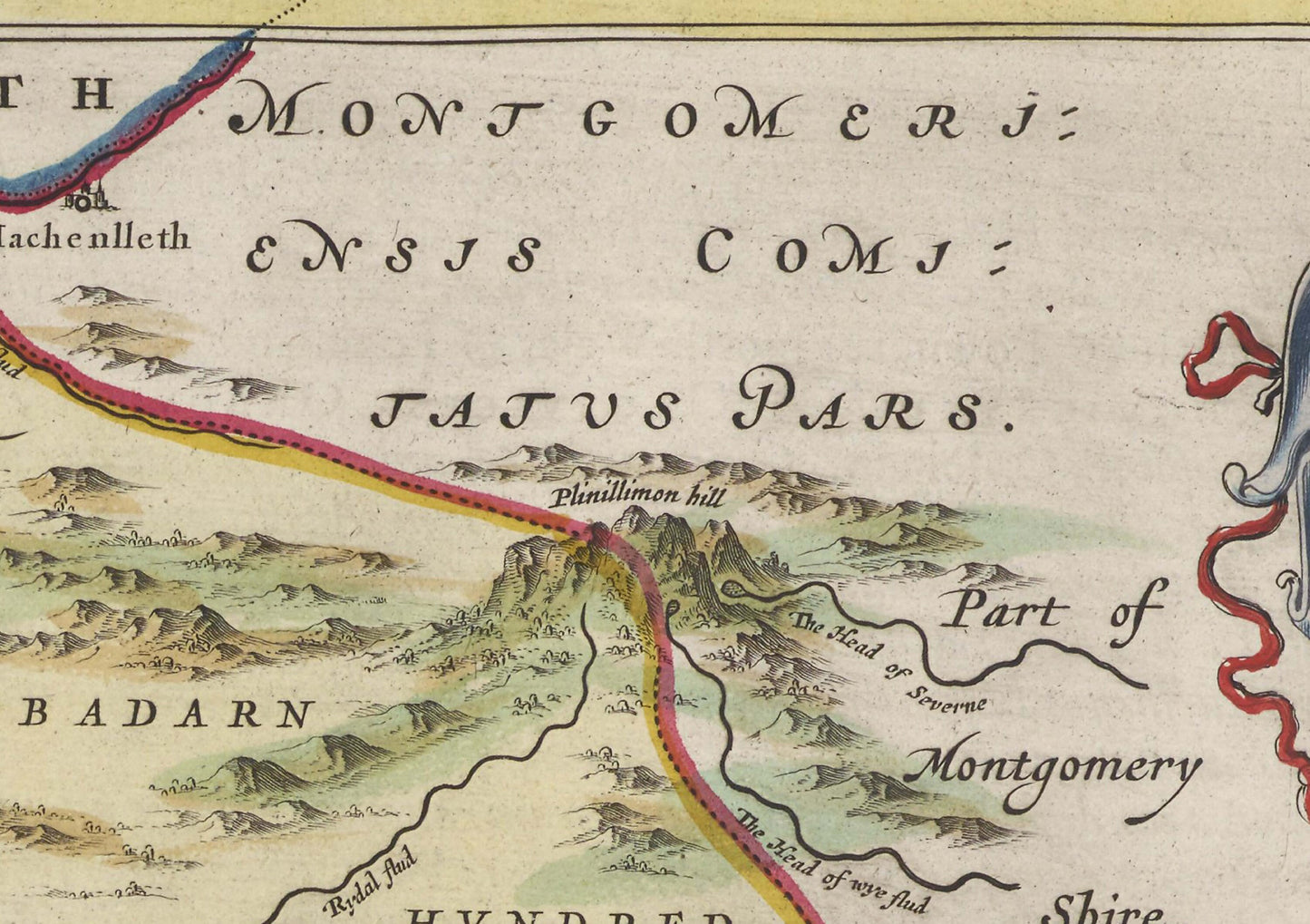
This is a reproduction of an 1665 Map of Cardiganshire by Joan Blaeu.
Originally titled ‘Ceretica sive Cardiganensis Comitatus’, this historical map is from the Atlas Maior published in 1665 by Joan Blaeu. The map shows modern-day Carmarthen, Aberystwyth, Newtown, Aberteifi, Llanbedr Pont Steffan, Llangurig, Llangorwen, Bow Street, Llanfair Caereinion, Crymych, Fairbourne, Llwyngwril, Llandysul, Aberporth, Cilgerran, Aberaeron, Castell Newydd Emlyn, Llangoedmor, St Dogmaels, New Quay, Adpar, Llechryd, Llanwrtyd Wells, Penparc, Llanrhystud, Cardigan, Ceredigion, Welsh Family Tree, Aberystwyth S, Cardigan Bay, Borth, Cardiganshire, Henry’s Moat.
Ceredigion is a principal area of Wales, corresponding to the historic county of Cardiganshire. During the second half of the first millennium Ceredigion was a minor kingdom. It has been administered as a county since 1282. Welsh is spoken by more than half the population. Ceredigion is considered to be a centre of Welsh culture. The county is mainly rural with over 50 miles of coastline and a mountainous hinterland. The numerous sandy beaches and the long-distance Ceredigion Coast Path provide excellent views of Cardigan Bay.
Available as:
24 x 18 inches
30 x 24 inches
Available on 170gsm matt poster paper
or 200gsm silk poster paper.
*Frame not included*