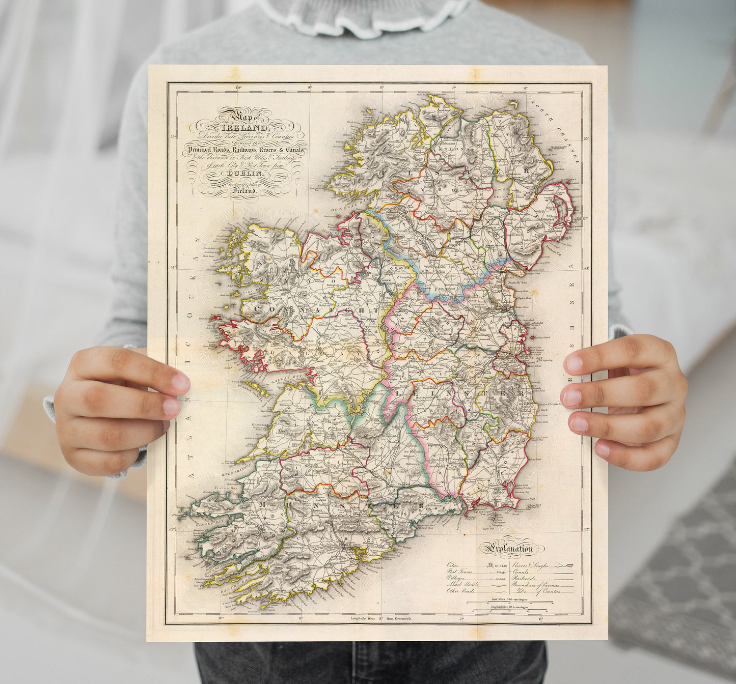
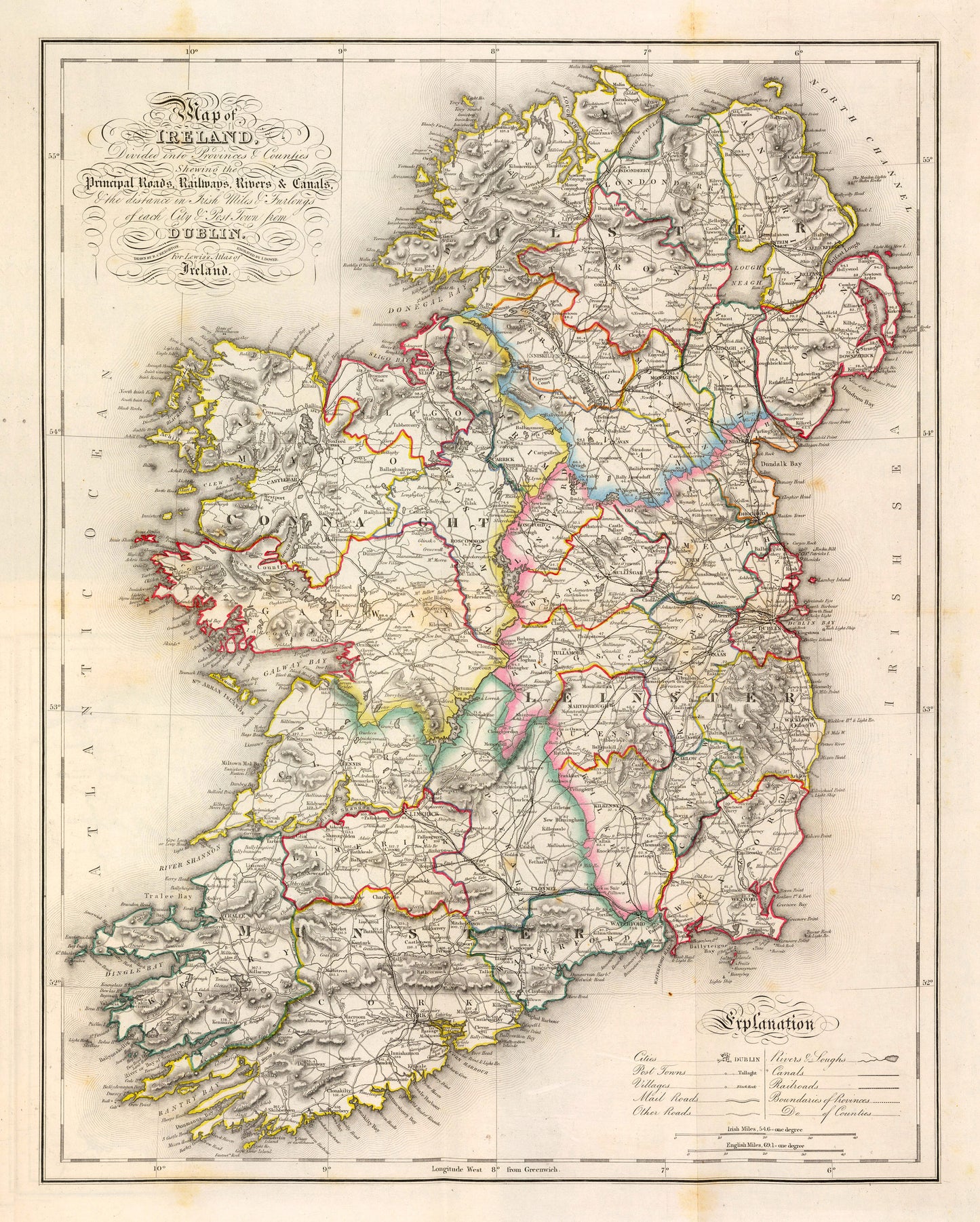
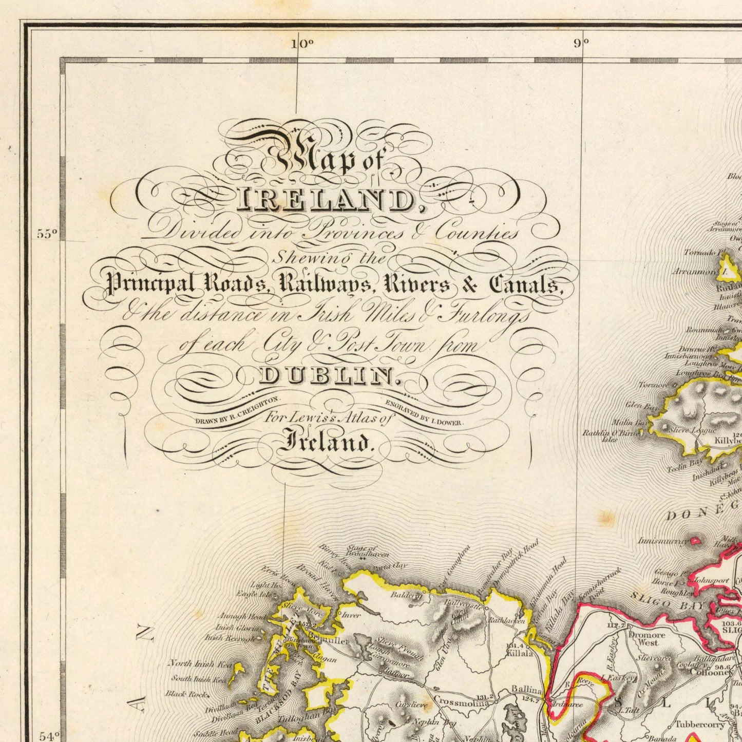
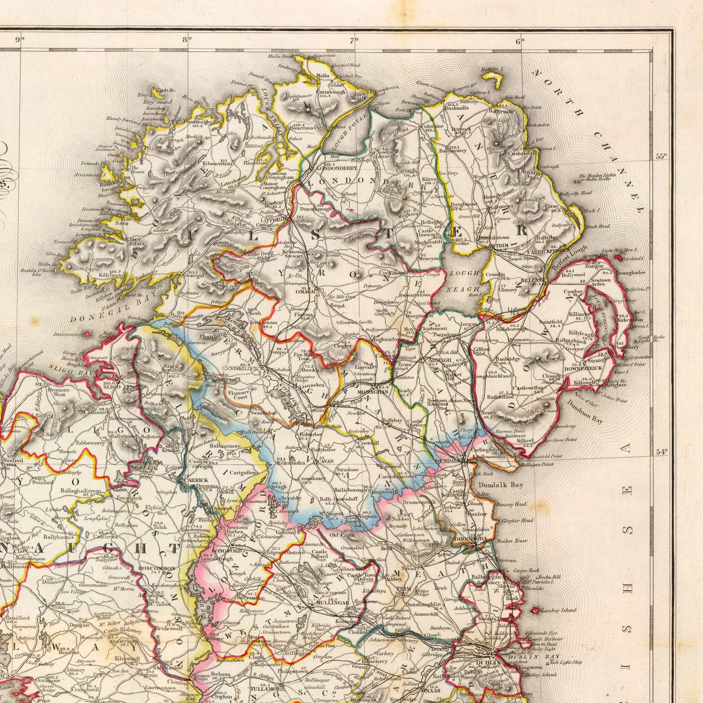
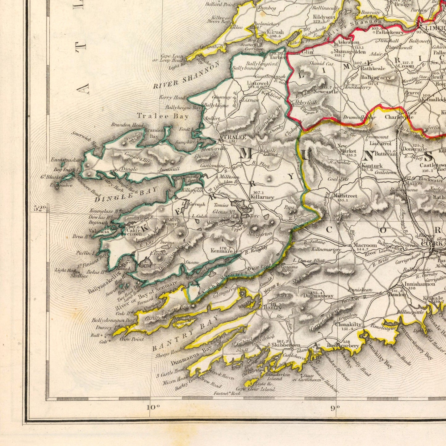
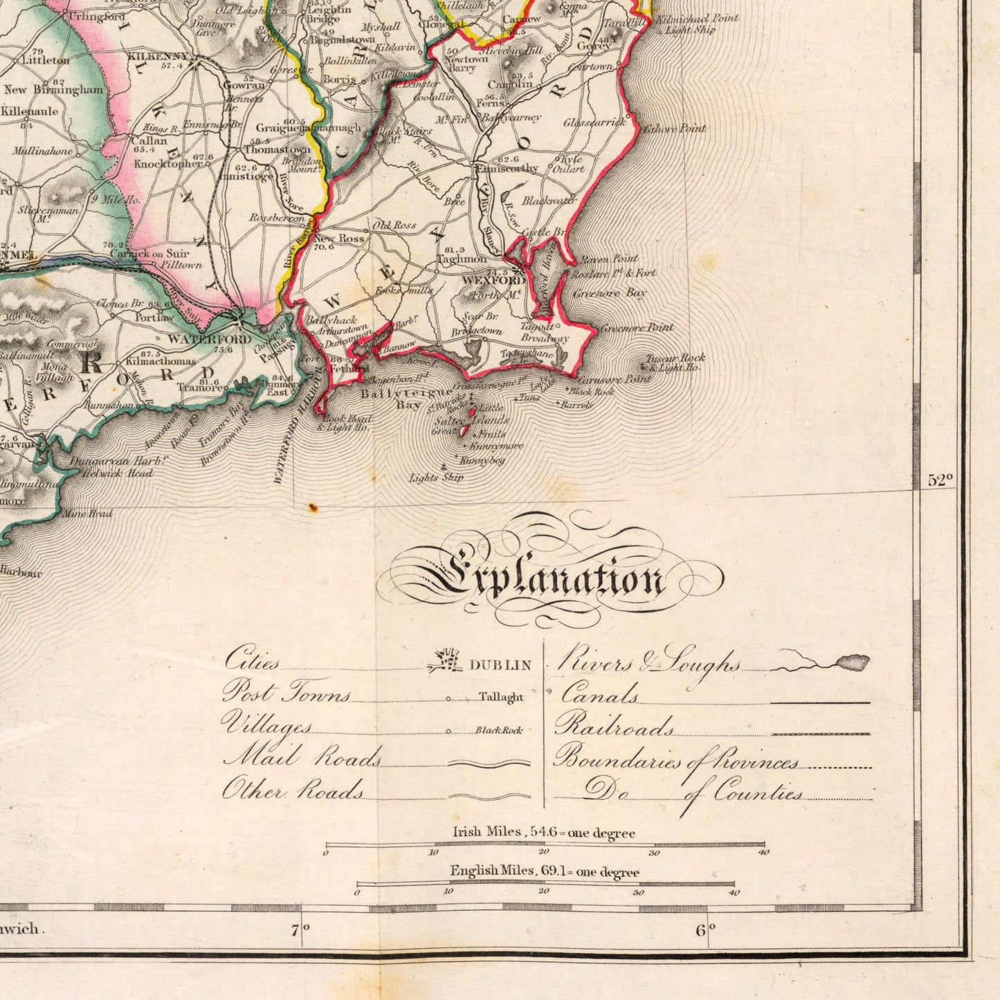
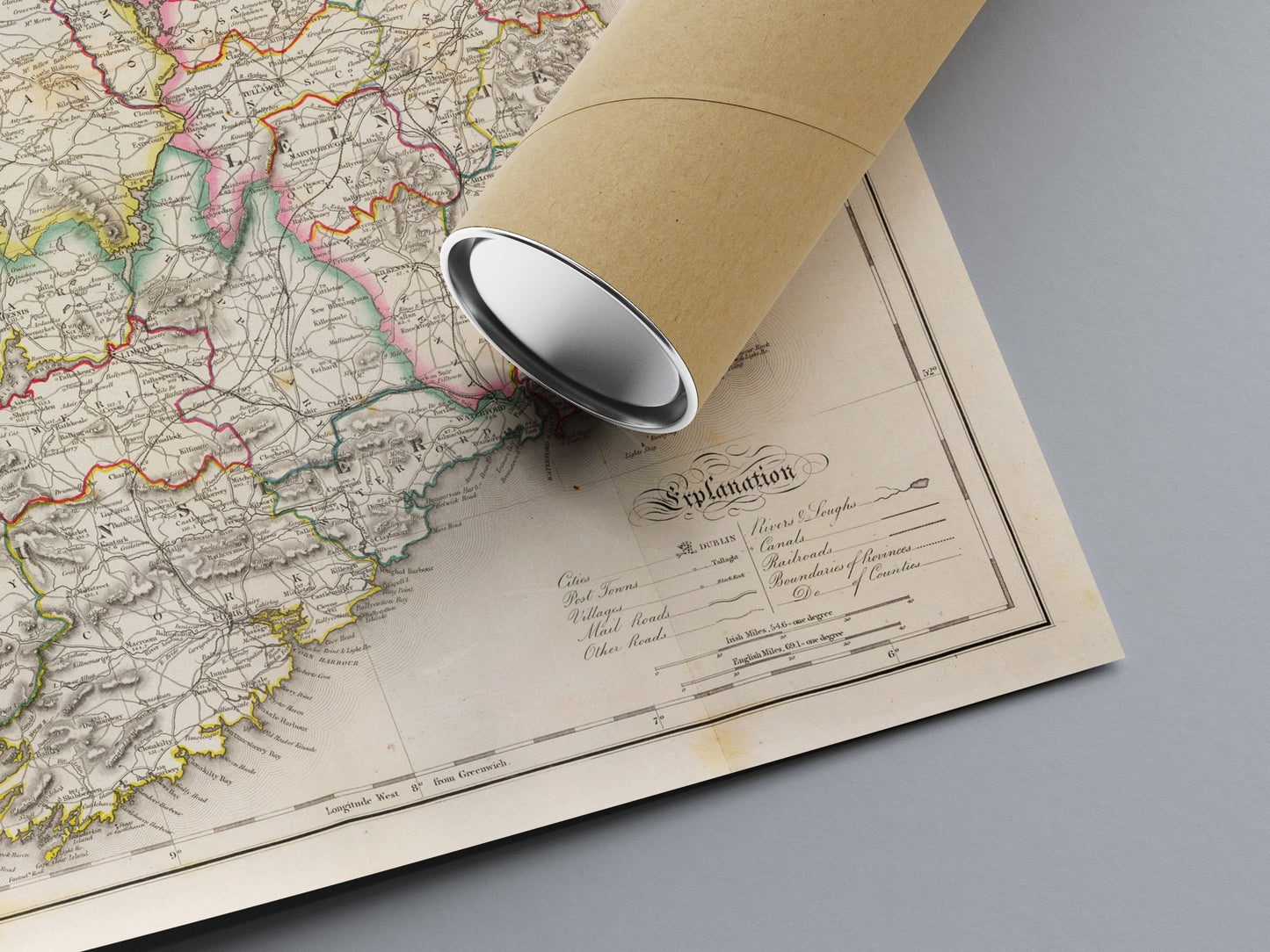
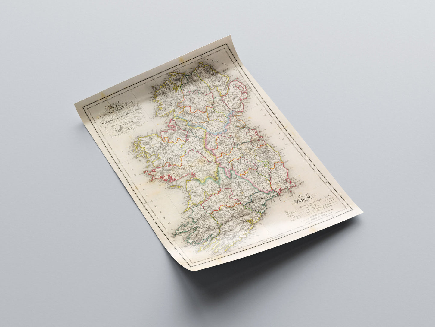
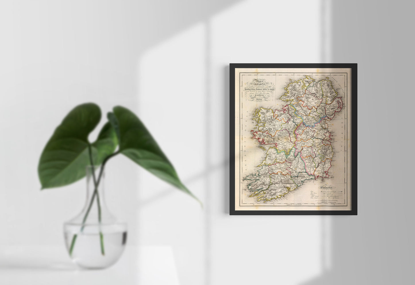
Old Map of IrelandReproduction of 1846 Map of Ireland by Samuel Lewis. This was originally found in Lewis's Atlas comprising the counties of Ireland : and a general map of the kingdom. This poster shows the boundaries, cities, towns, villages, roads, and railroads at that time. Available as:24 x 20 inches 30 x 24 inchesAvailable on 180gsm matt poster paper
or 200gsm silk poster paper.*Frame not included*