1
/
of
8
Printagonist
Newcastle, England - Shaded Relief Map - Detailed Topography - Newcastle-Upon-Tyne - Lidar Map
Newcastle, England - Shaded Relief Map - Detailed Topography - Newcastle-Upon-Tyne - Lidar Map
Regular price
£24.99
Regular price
Sale price
£24.99
Unit price
/
per
Tax included.
Shipping calculated at checkout.
Couldn't load pickup availability
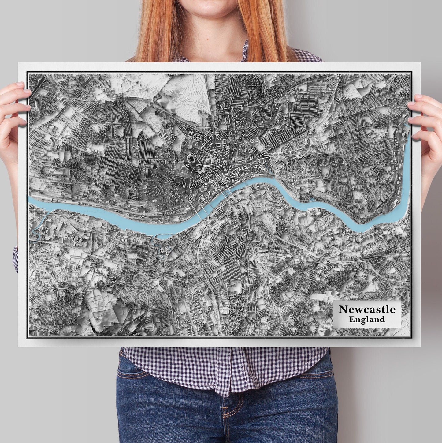
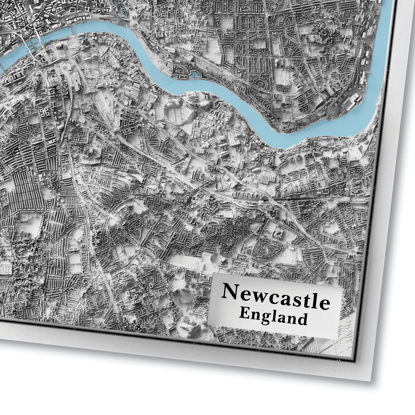
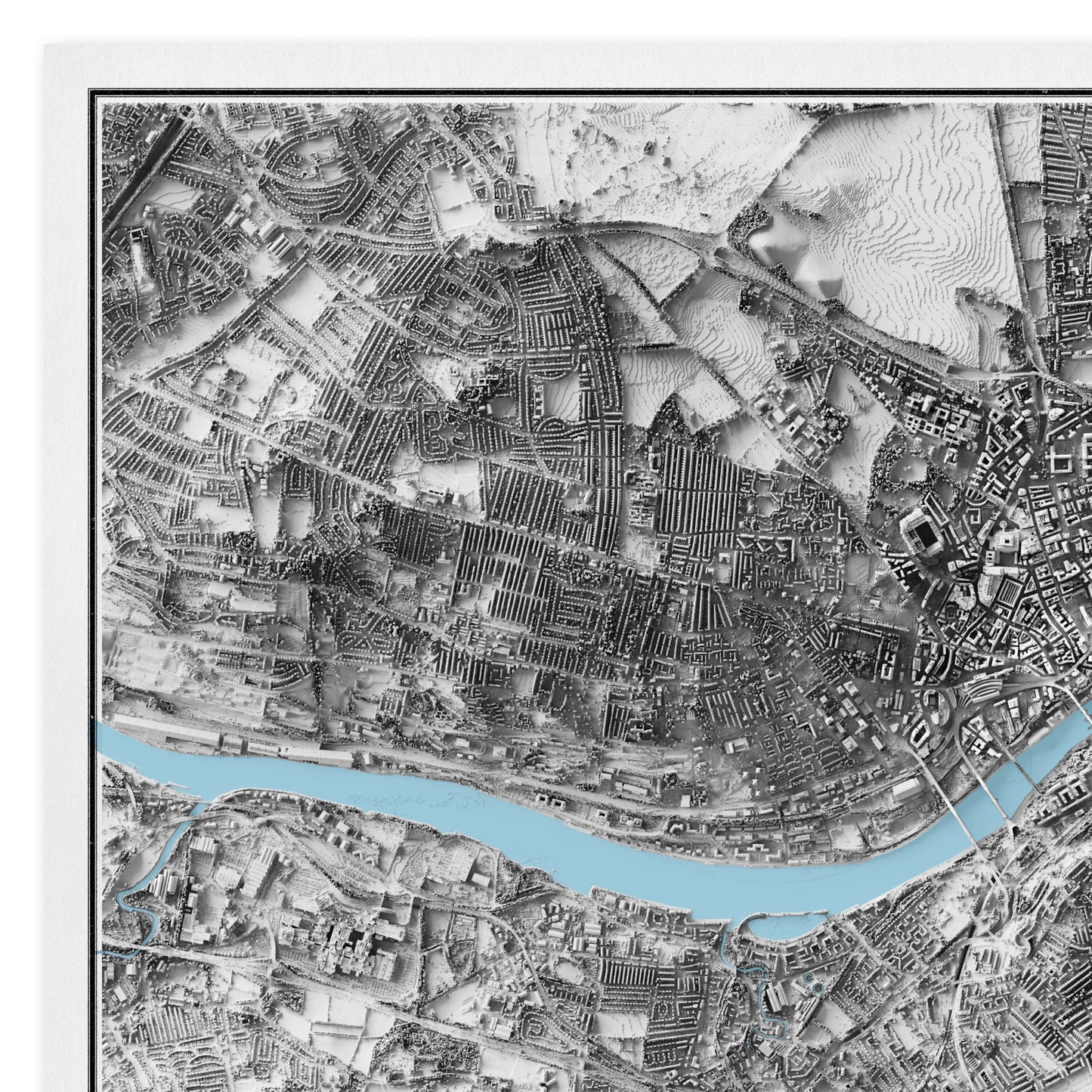
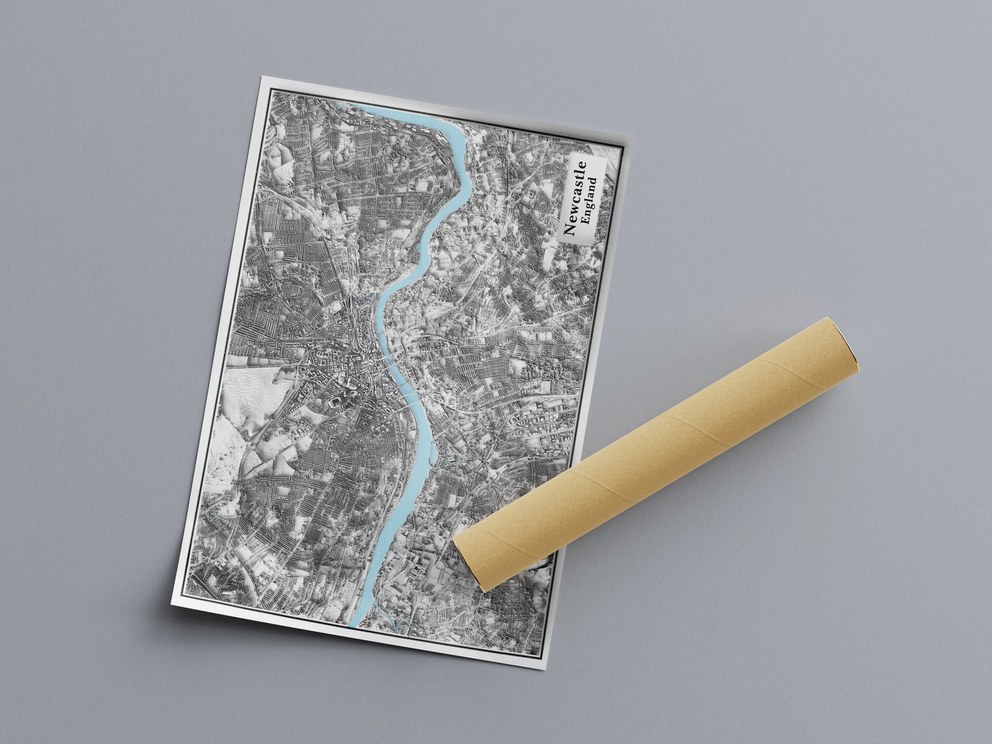
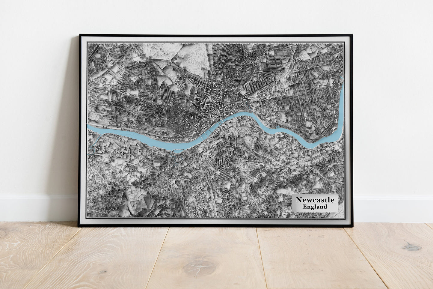
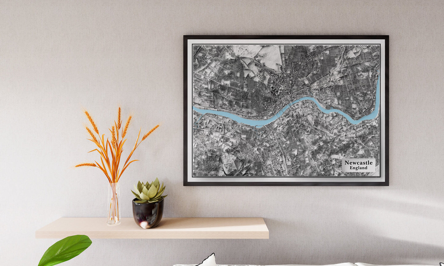
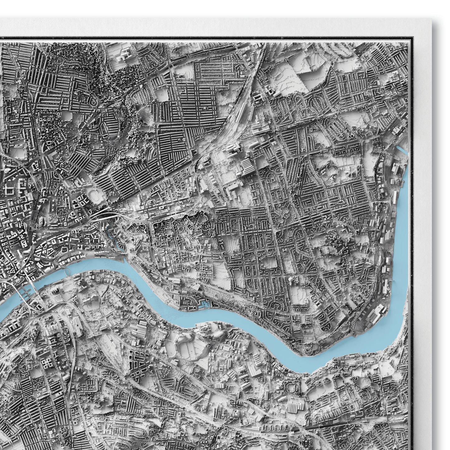
Newcastle MapThis is a minimalistic shaded relief map of Newcastle from a birds eye view. This is created using LiDAR surveys done by the UK Environment Agency. This is then adjusted using 3D software to create the effect of light and shadow. Please note: This is a 2D map printed on paper. It is not a 3D model.Available as:A2: 23.4 x 16.5 inches
70 x 50 cmAvailable on 180gsm matt poster paper or 200gsm silk poster paper.*Frame not included*For orders outside the UK please expect delivery between 2 to 4 weeks
70 x 50 cmAvailable on 180gsm matt poster paper or 200gsm silk poster paper.*Frame not included*For orders outside the UK please expect delivery between 2 to 4 weeks
Share
