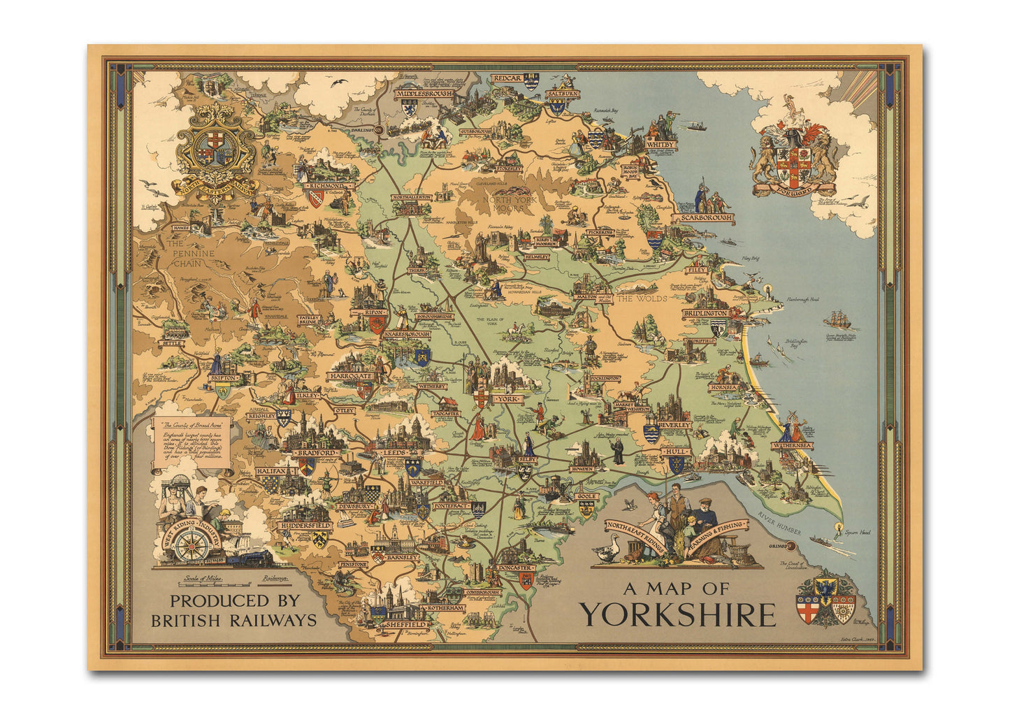
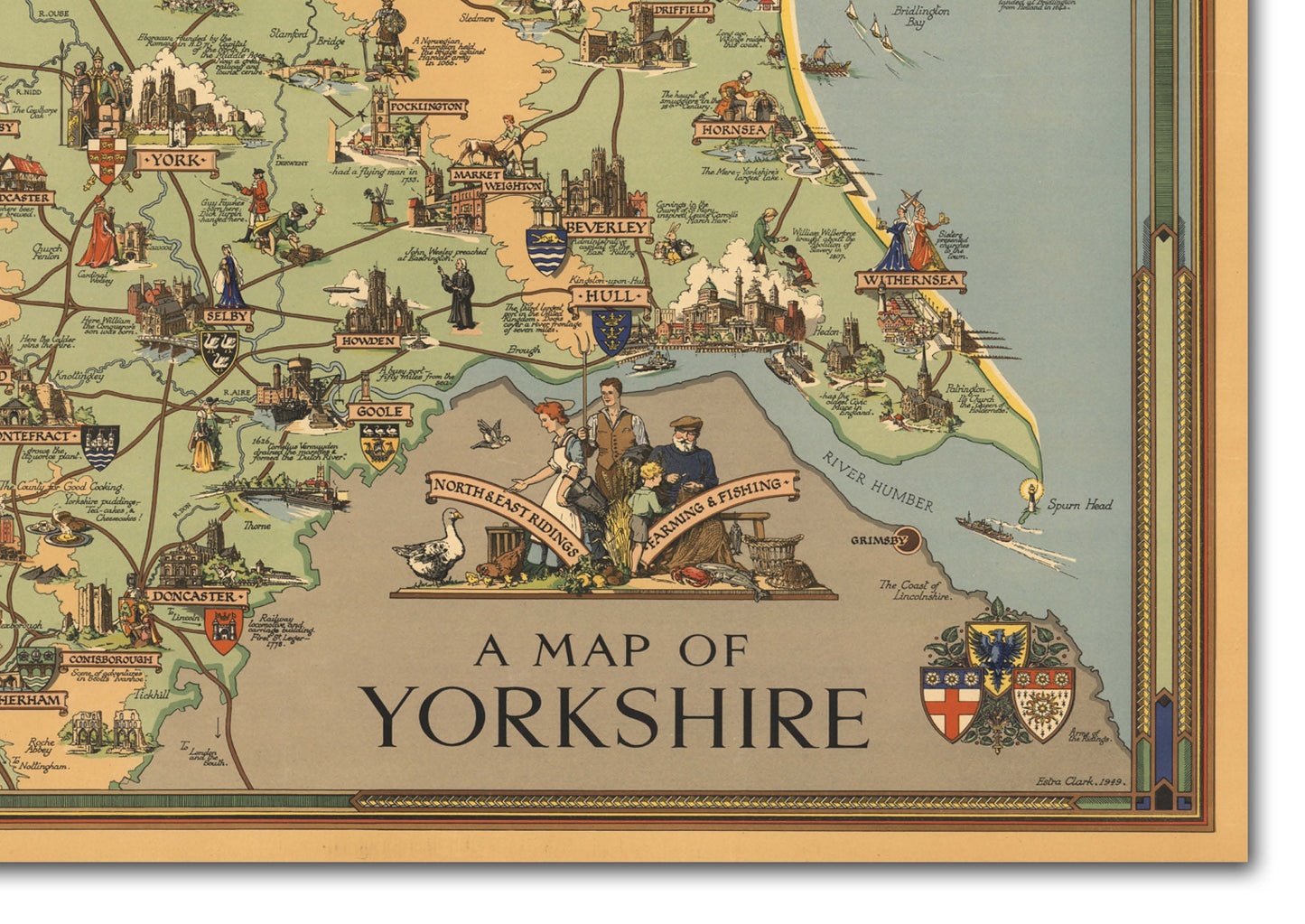
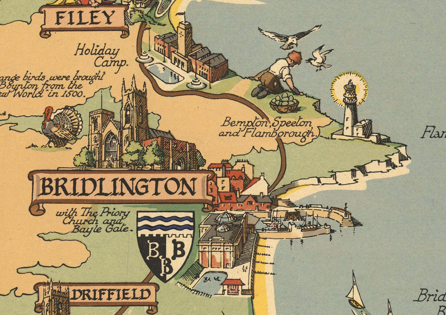
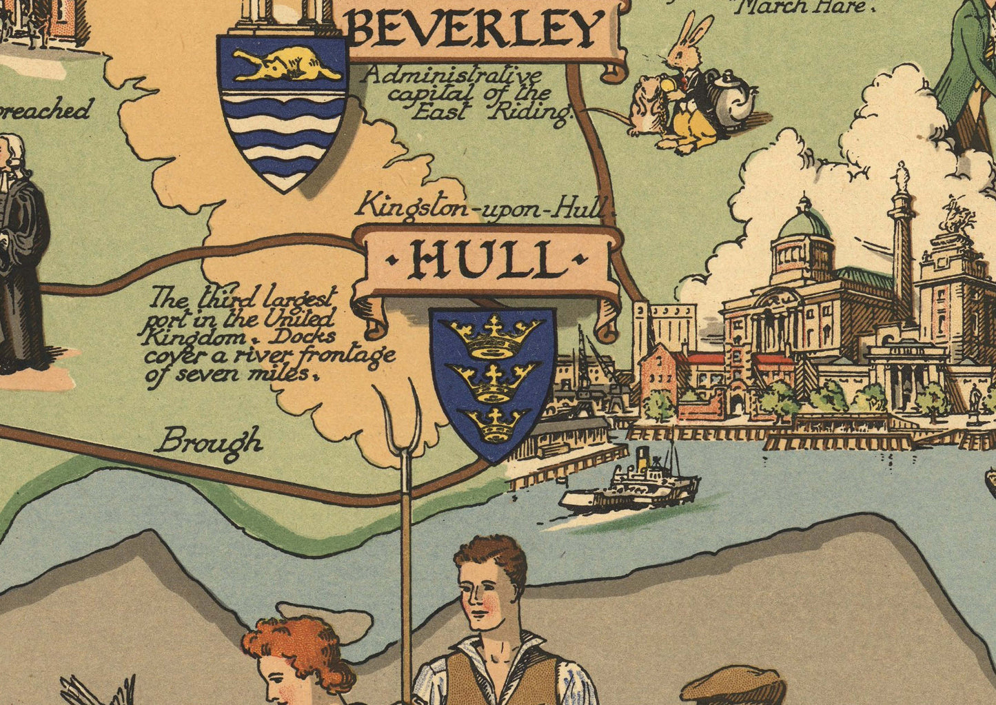
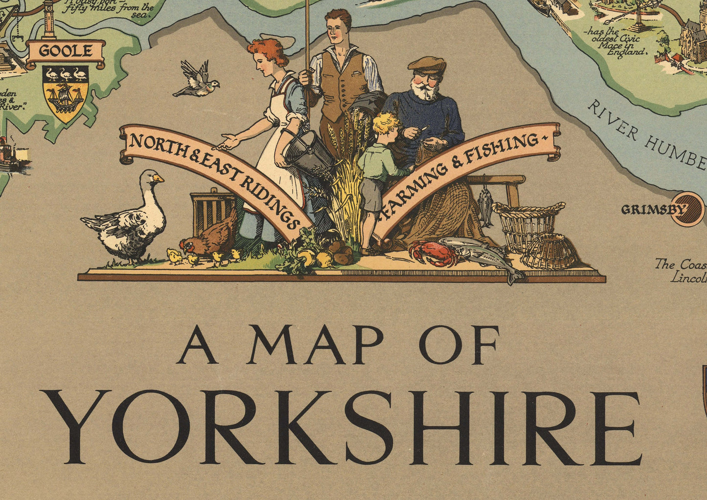
Pictorial map of Yorkshire, produced by British Railways to promote rail travel to and within Yorkshire. With emphasis upon British history and industry the map shows railway system, points of interest, notes, and vignettes illustrating "West Riding Industry" with mill worker, miner etc., North Eastern railway, the Arms of London and Northeastern Railways, Arms of the Ridings, Farming & Fishing" with fishermen etc.
24 x 18 inches or 32 x 24 inches
Available in matt or silk
The print is ready for framing, no additional trimming is necessary - just place the print into the frame of your choice for a beautiful art display. The print will be carefully packaged in a protective sleeve and shipped in a sturdy postal tube.
Please note, frame is not included.
For orders outside UK please expect delivery between 2 to 4 weeks