Printagonist
Palestine Map - Topographic Shaded Elevation Relief Map - Vintage Style - 2D Giclée Print - Palestine, Israel, biblical Map, Bible Study
Palestine Map - Topographic Shaded Elevation Relief Map - Vintage Style - 2D Giclée Print - Palestine, Israel, biblical Map, Bible Study
Couldn't load pickup availability
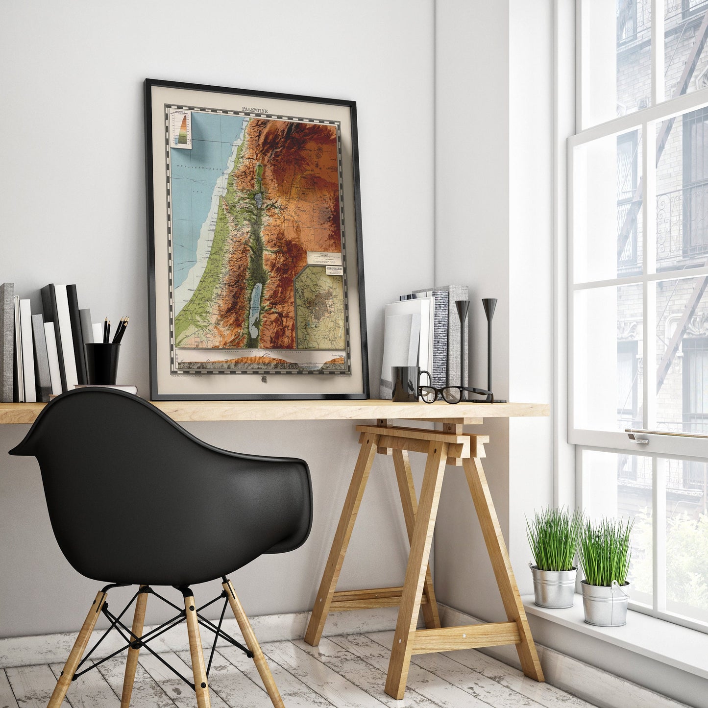
Palestine Map
Reproduction of 1922 Geological Survey Map of Palestine using satellite data to impose the topography onto the map.
PLEASE NOTE:
This is not a 3D map. This is a decorative map printed on poster paper (2D).
This is not a 3D model.
Relief shown by hypsometric tints and spot heights; depths by bathymetric tints. Shows shipping routes, etc. Inset at (ca. 1:49,500) scale. Includes "Section across Judea and the Dead Sea."
Available on 180gsm Matt paper or 200gsm Silk paper
Poster contained within polythene tubing. Sent in doubled cardboard tube.
SPECIAL OFFER: Buy any 3 prints and get 25% OFF
VINTAGE MAP REPRODUCTION: Add a touch of class to any room with this beautiful stylish decorative print. Everyone loves a good looking map!
QUALITY INKS: Printed using long-lasting pigment ink
ARTWORK MADE TO ORDER IN THE UK: Reprint made only when you order it. Every map will have minor adjustments to optimise it for print
FRAME READY: This unframed poster is shipped in a poly sleeve inside a thick postal tube, ensuring it is delivered crease-free. Print made to fit standard frame sizes
For orders outside UK please expect delivery between 2 to 4 weeks
For speedier option you may wish to consider courier.
Please note FRAME NOT INCLUDED, for display purposes only.
Share


