1
/
of
9
Printagonist
Queensferry Print - Shaded LiDAR Relief Map - Detailed Topography - Edinburgh - North Queensferry - Inverkeithing - South Queensferry
Queensferry Print - Shaded LiDAR Relief Map - Detailed Topography - Edinburgh - North Queensferry - Inverkeithing - South Queensferry
Regular price
£19.00
Regular price
Sale price
£19.00
Unit price
/
per
Tax included.
Shipping calculated at checkout.
Couldn't load pickup availability
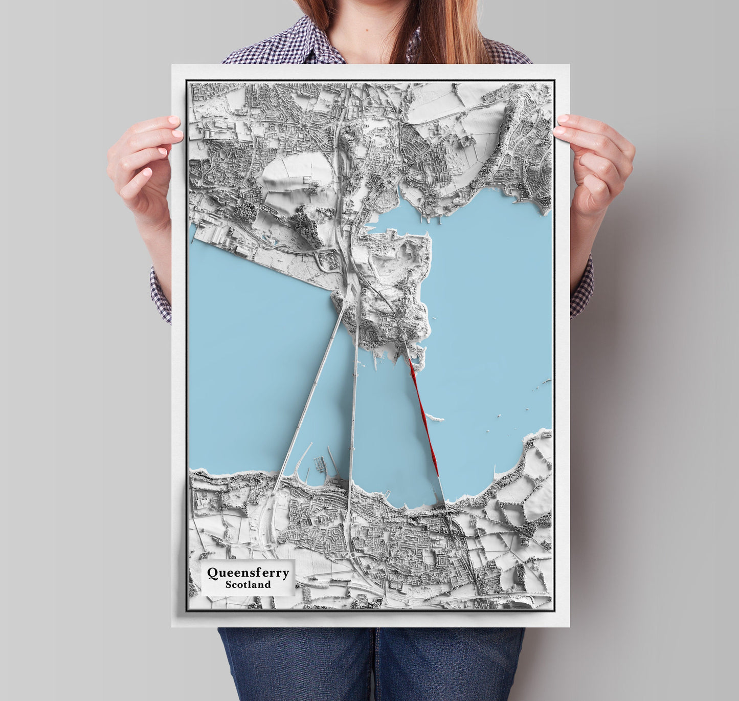
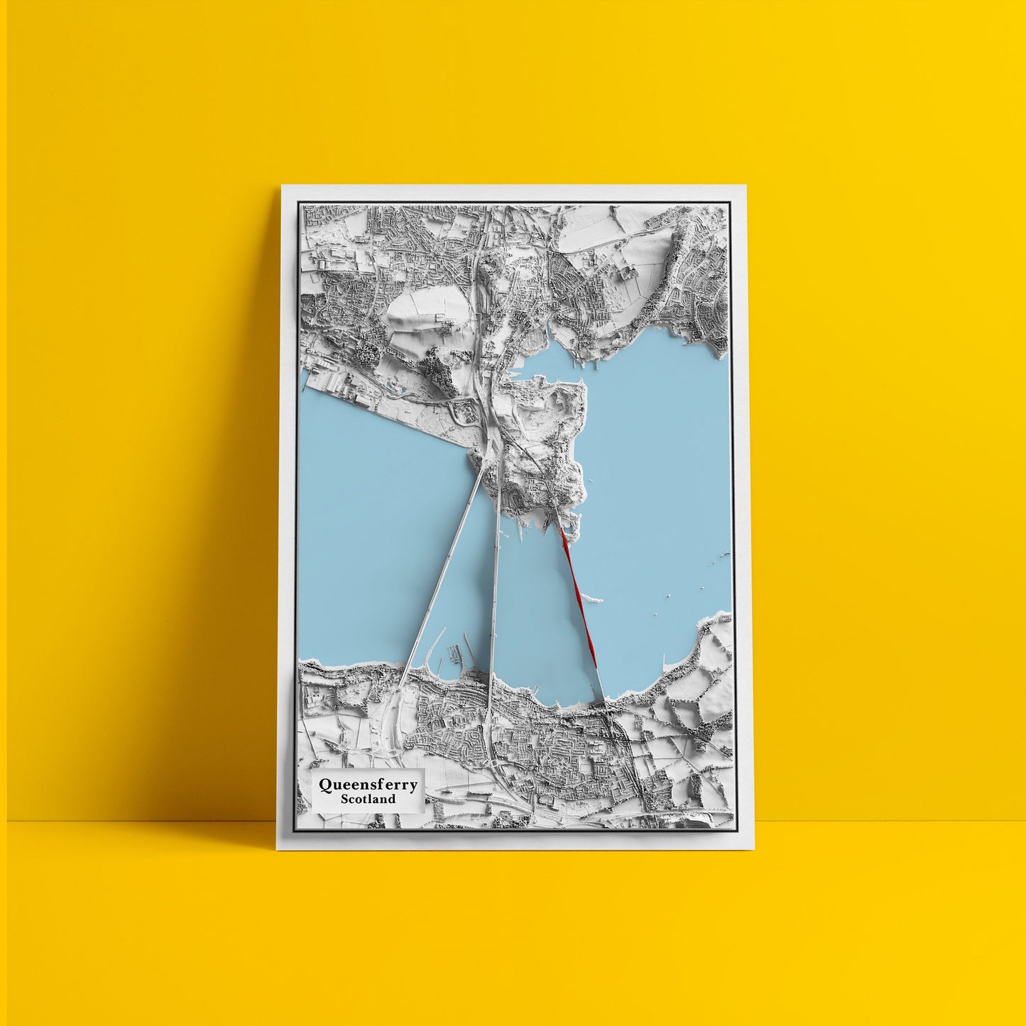
Queensferry Map
This is not a 3D map. This is a decorative map printed on poster paper (2D).
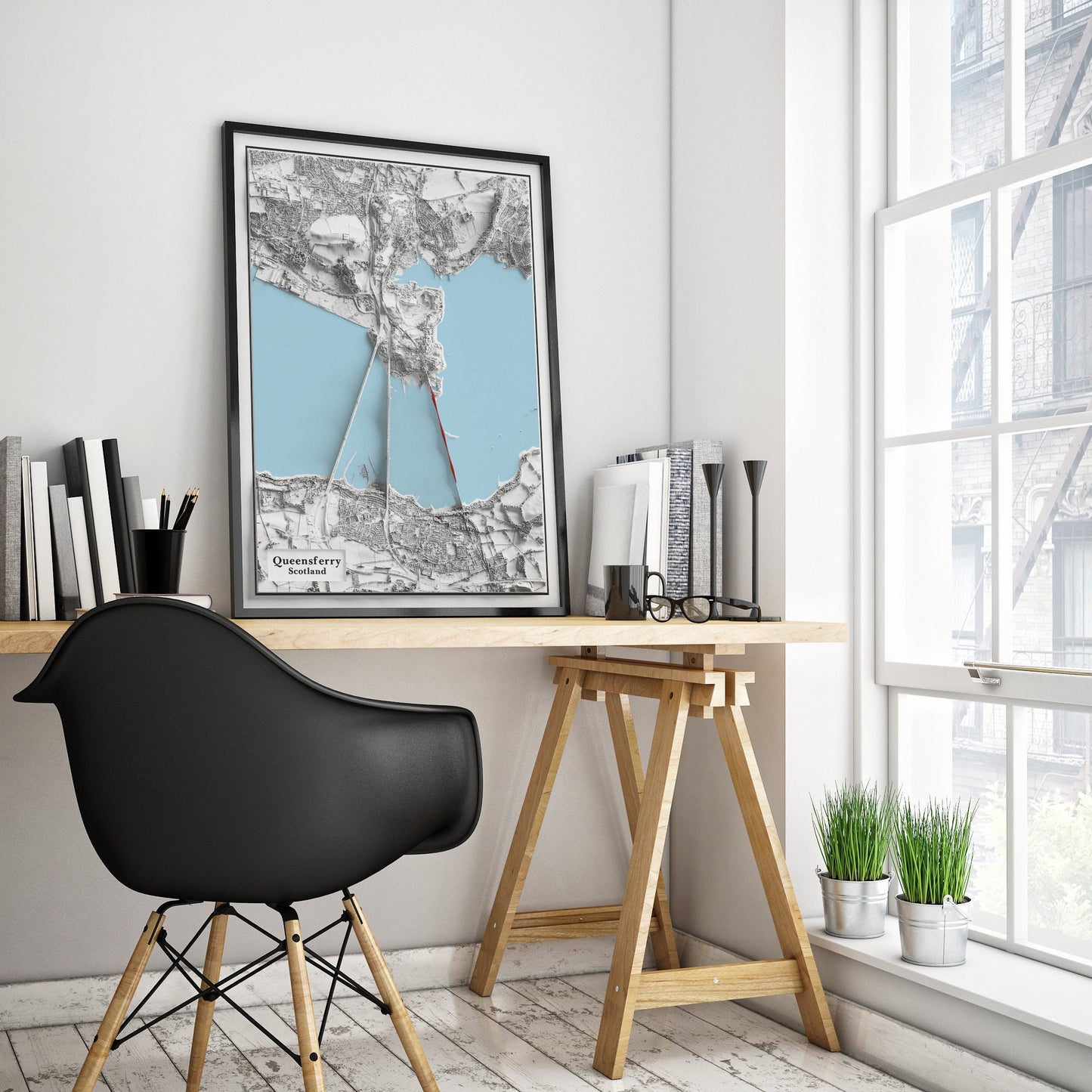
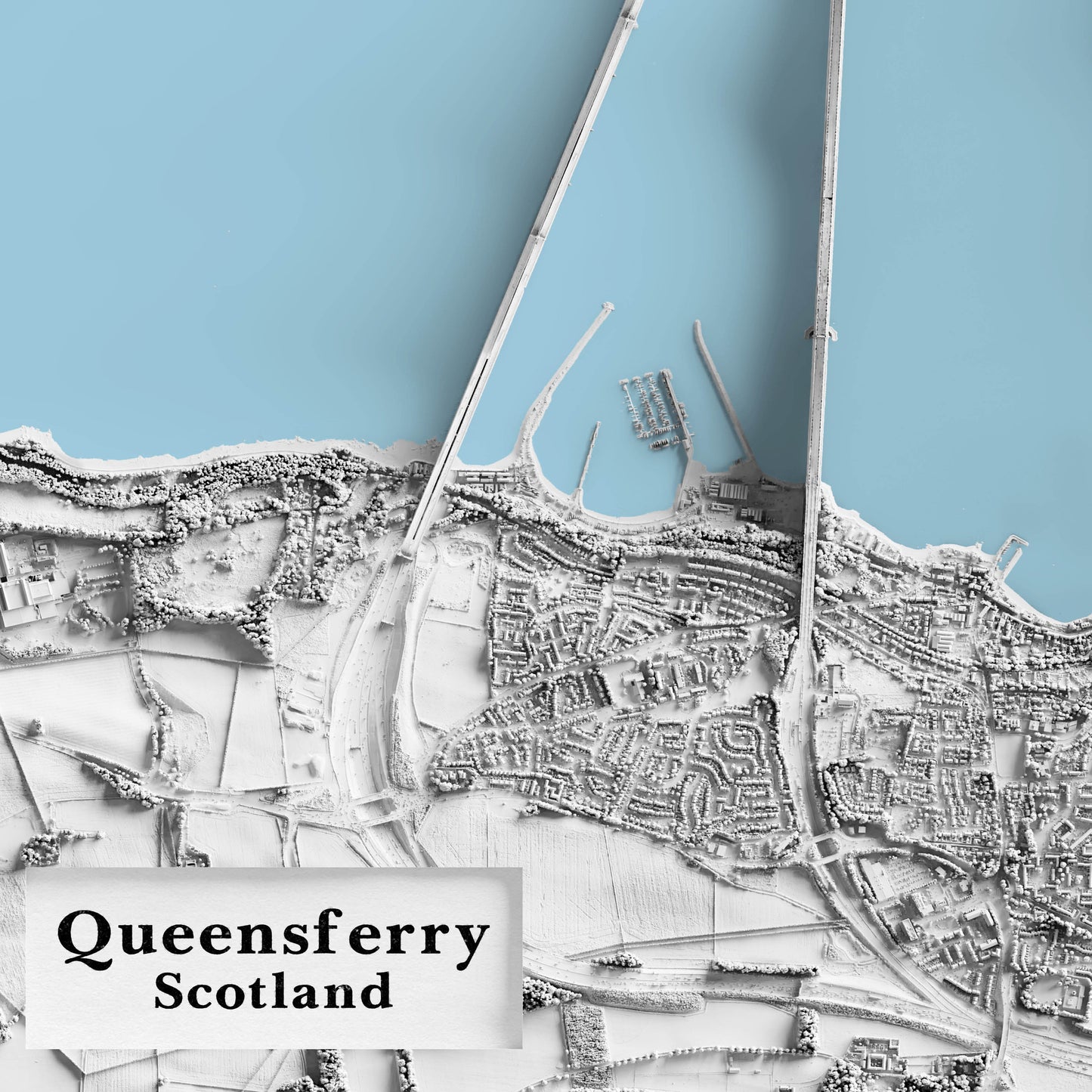
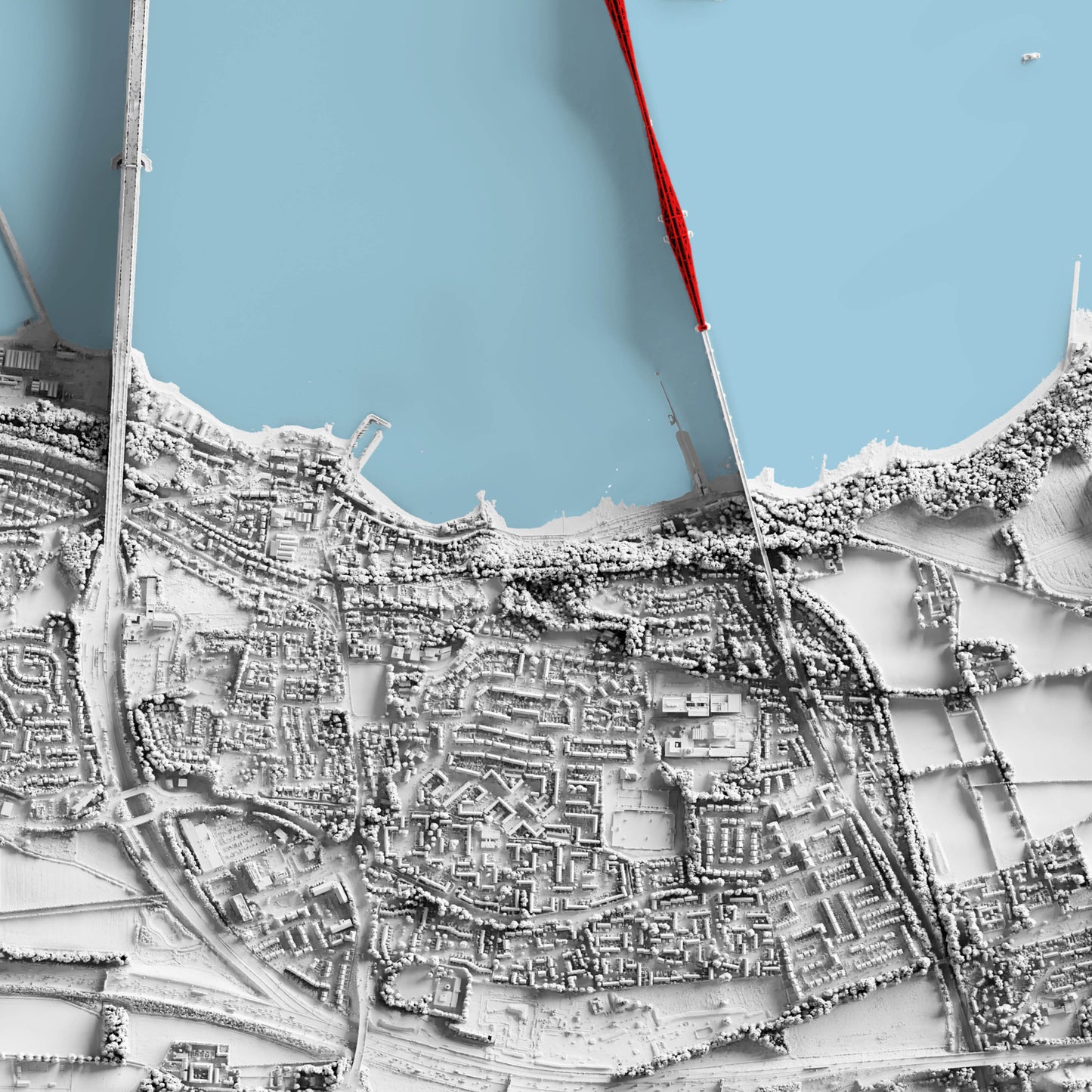
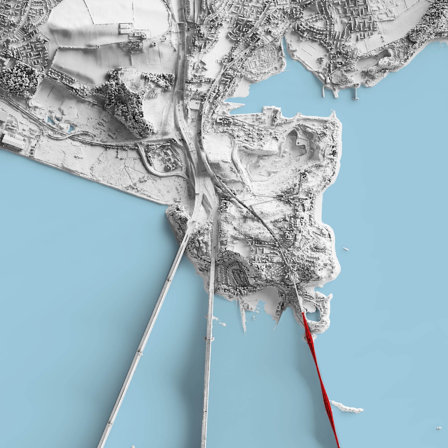
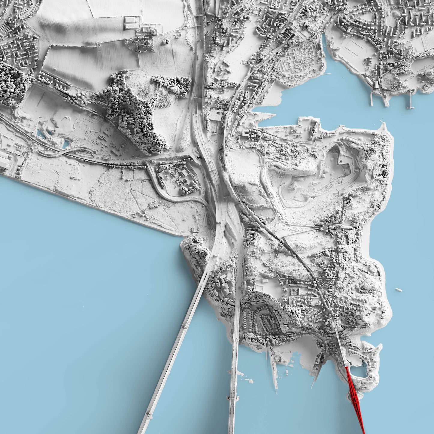
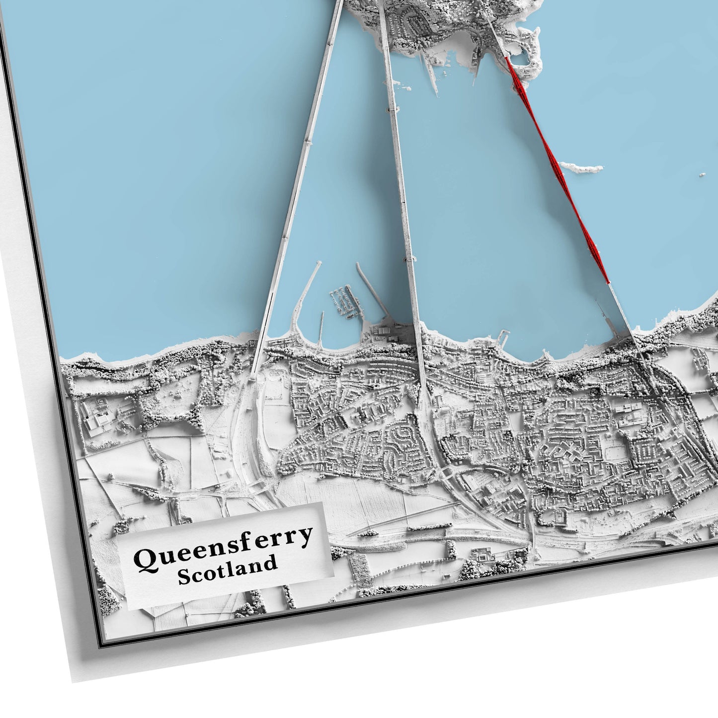
This is a 2D fine art print. It is created using advanced digital shading techniques, modern satellite elevation data. Please note, these prints are 2-dimensional, which means they are flat to the touch (they aren't made using a 3D printer). The shadows pictured in the advertised images will also be present in the final print. These are added to give the appearance of a 3 dimensional structure. This map shows South Queensferry and the connecting bridges to Fife, with the iconic Forth Bridge in red. On the Fife side you can see North Queensferry, Inverkeithing and some of Rosyth and Dalgety Bay. If you live in this area you might even be able to spot your house!
PLEASE NOTE:
This is not a 3D map. This is a decorative map printed on poster paper (2D).
PLEASE NOTE: This is not a 3D map. This is a decorative map printed on poster paper (2D - flat to touch).
Available as:
24 x 18 inches 32 x 24 inches 40 x 30 inches
Available on 180gsm matt poster paper or 200gsm satin poster paper.
SPECIAL OFFER: Buy any 3 maps and get 25% OFF
VINTAGE MAP REPRODUCTION: Add a touch of class to any room with this beautiful stylish decorative print. Everyone loves a good looking map!
QUALITY INKS: Printed using long-lasting pigment ink
MAP MADE TO ORDER IN THE UK: Reprint made only when you order it. Every map will have minor adjustments to optimise it for print
FRAME READY: This unframed poster is shipped in a poly sleeve inside a thick postal tube, ensuring it is delivered crease-free. Print made to fit standard frame sizes
---------------> *Frame not included* <------------------
Share
