Printagonist
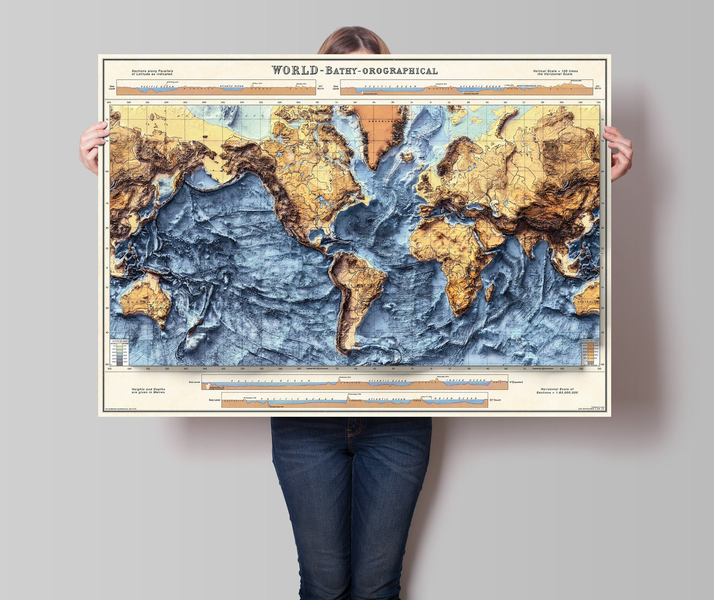
World Bathymetry - Shaded Relief Map - Detailed Topography - Vintage Poster - World Topography including Ocean Floor - Wall Art Print
World Bathymetry - Shaded Relief Map - Detailed Topography - Vintage Poster - World Topography including Ocean Floor - Wall Art Print
Couldn't load pickup availability
World Bathymetry Map
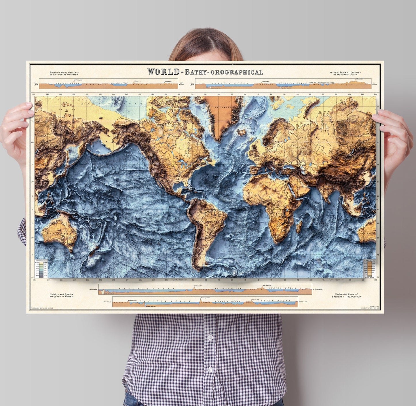
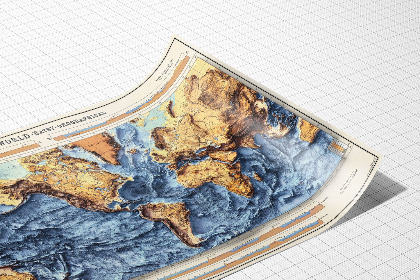
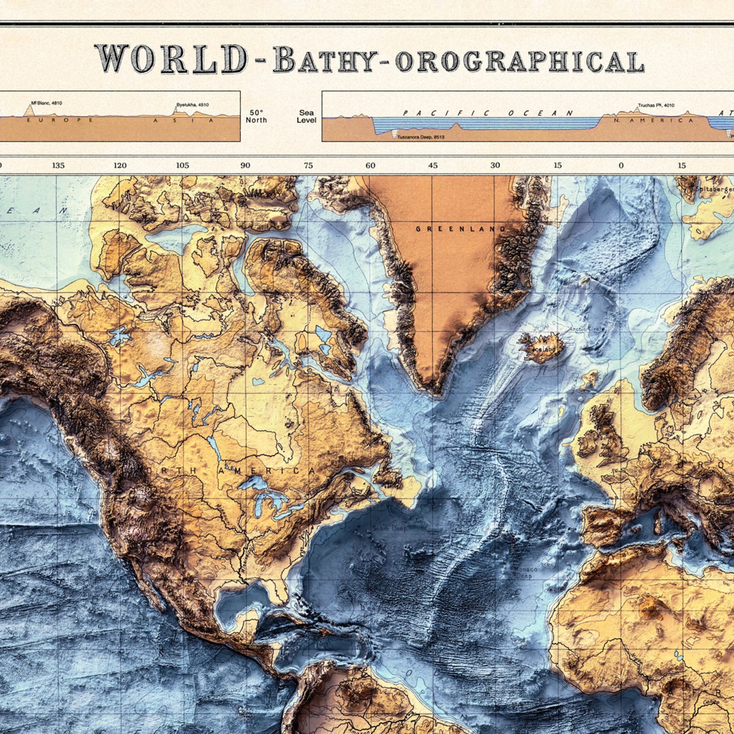
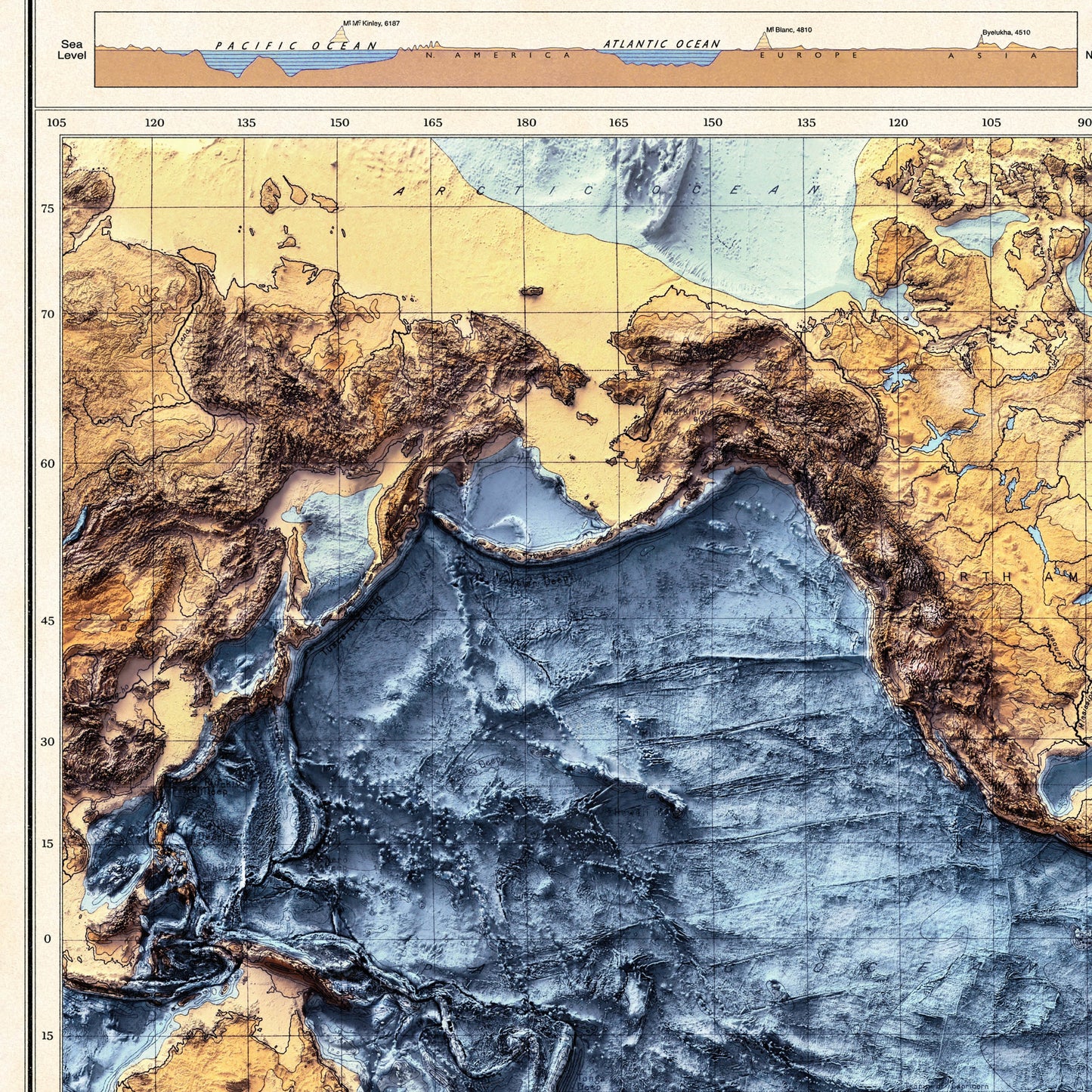
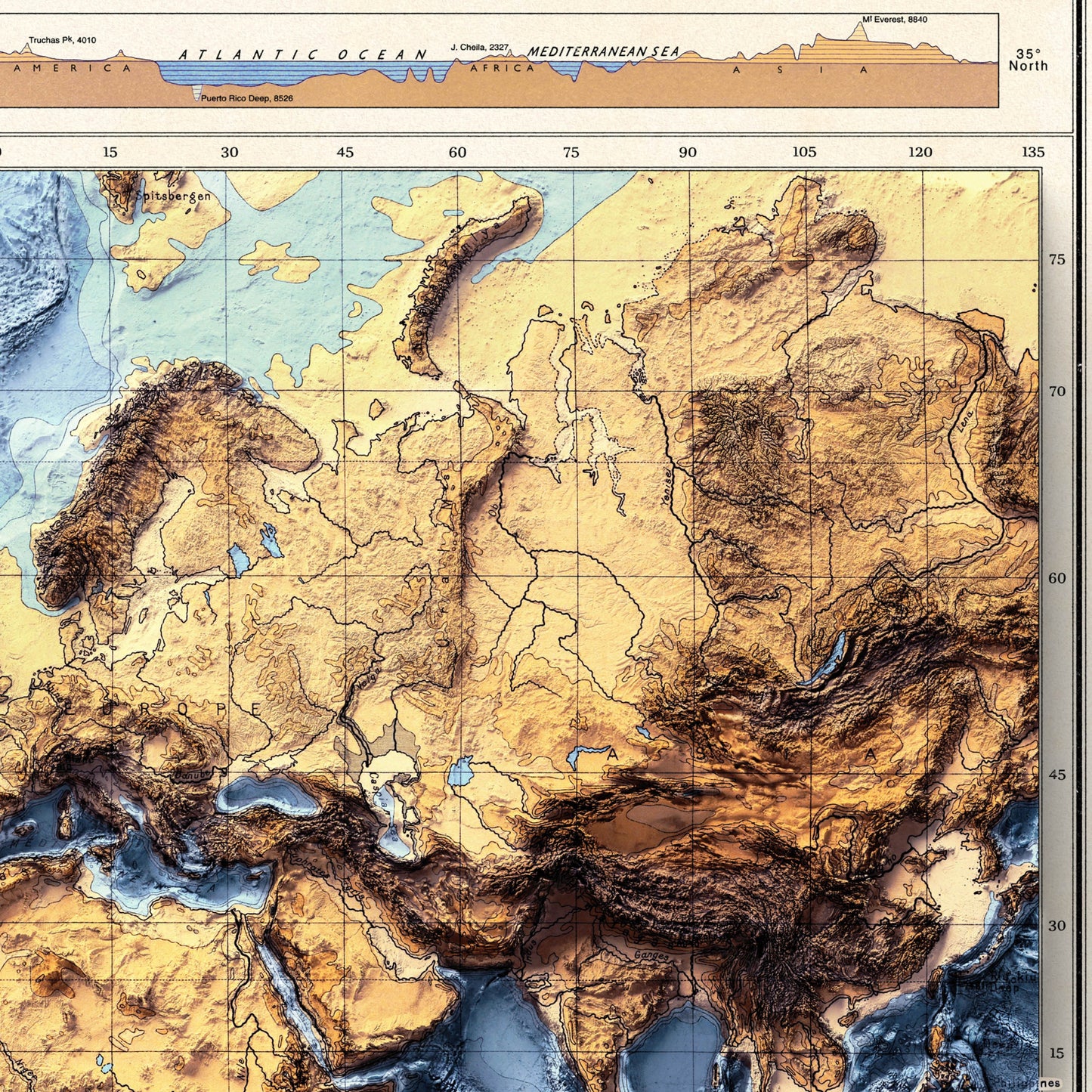
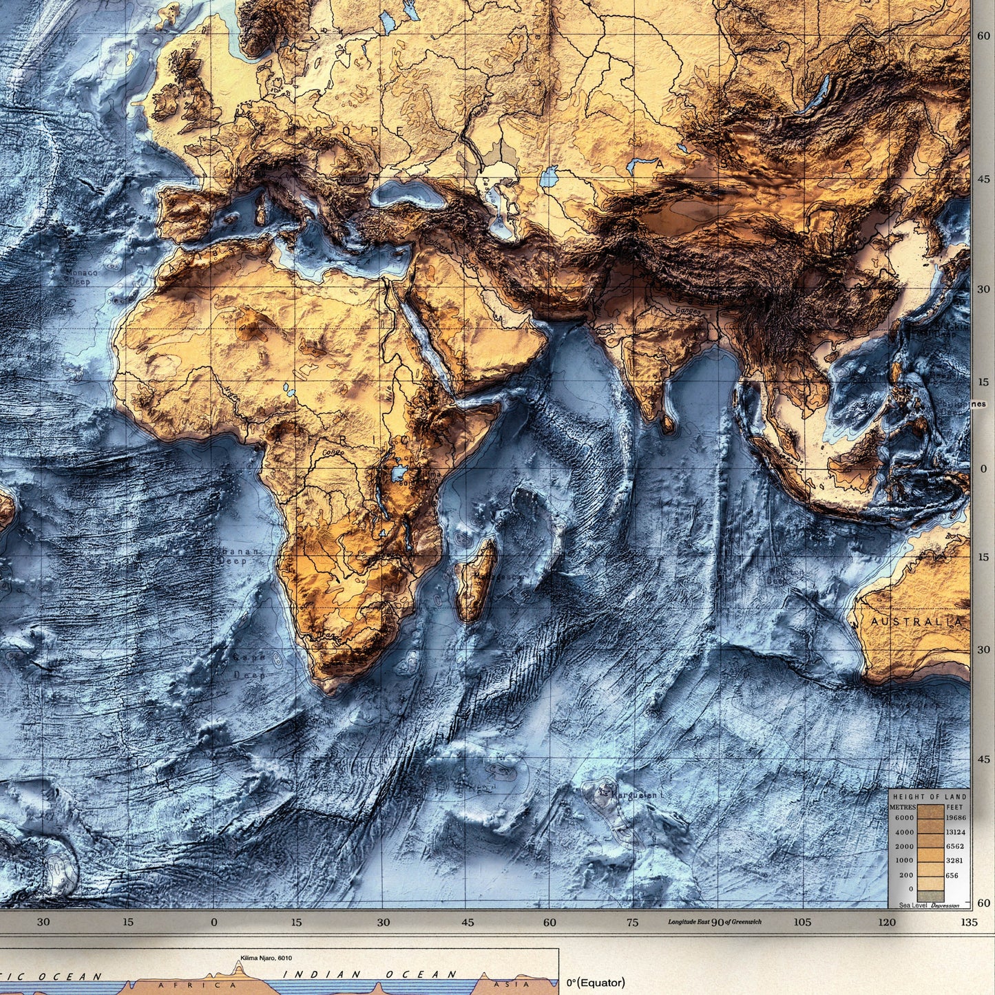
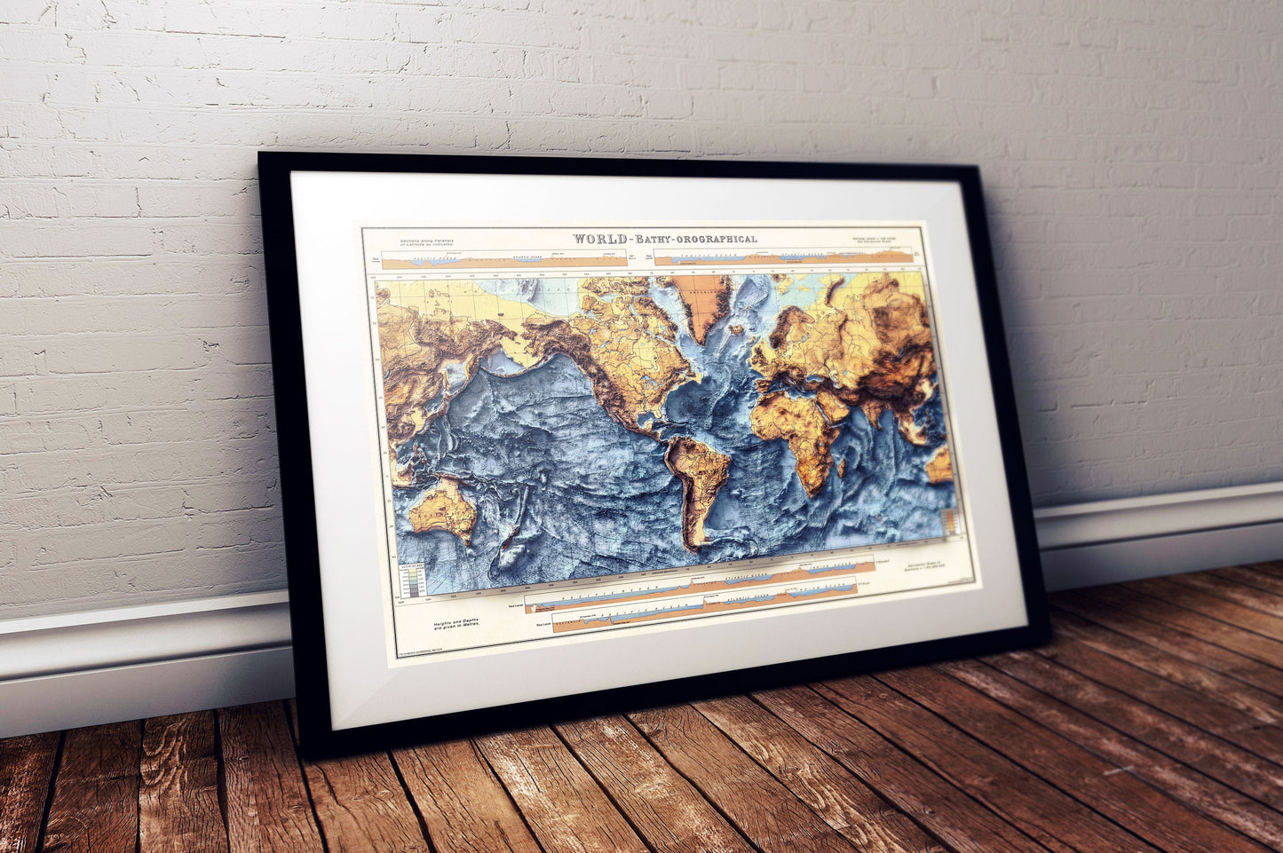
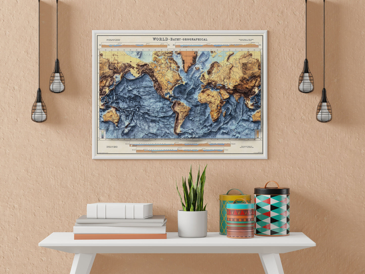
Vintage Map of the World with Shaded relief. This is a modified reproduction of a map originally published by The Times in 1922, and created by John Bartholomew.
This map has been lovingly restored with added shaded relief effect by using surface model data to give a 3D-like Visual Perspective.
Please note however, this is NOT a 3D map. This is a flat 2D print with life-like shading that gives it a 3D look.
Bathymetry is the measurement of depth of water in oceans, seas, or lakes.
More shaded relief maps are available:
Great Britain: https://www.etsy.com/uk/Printagonist/listing/1119128062
Ireland: https://www.etsy.com/uk/Printagonist/listing/1222098775
Harris: https://www.etsy.com/uk/Printagonist/listing/1108751094
Iceland: https://www.etsy.com/uk/Printagonist/listing/1196544263
Available as:
A0 - 46.8 x 33.1 inches
A1 - 33.1 x 23.4 inches
Available on 180gsm matt poster paper
or 200gsm satin poster paper.
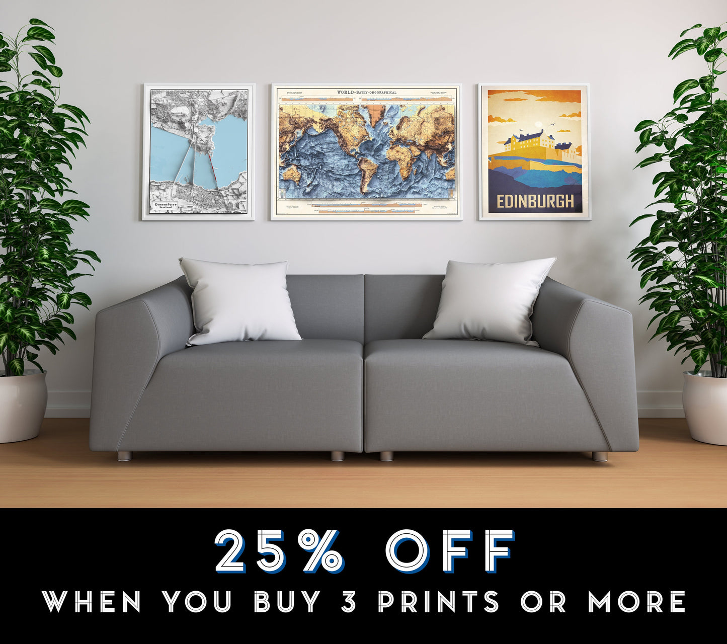
SPECIAL OFFER: Buy any 3 maps and get 25% OFF
VINTAGE MAP REPRODUCTION: Add a touch of class to any room with this beautiful stylish decorative print. Everyone loves a good looking map!
QUALITY INKS: Printed using long-lasting pigment ink
MAP MADE TO ORDER IN THE UK: Reprint made only when you order it. Every map will have minor adjustments to optimise it for print
FRAME READY: This unframed poster is shipped in a poly sleeve inside a thick postal tube, ensuring it is delivered crease-free. Print made to fit standard frame sizes
---------------> *Frame not included* ----------------
Share
