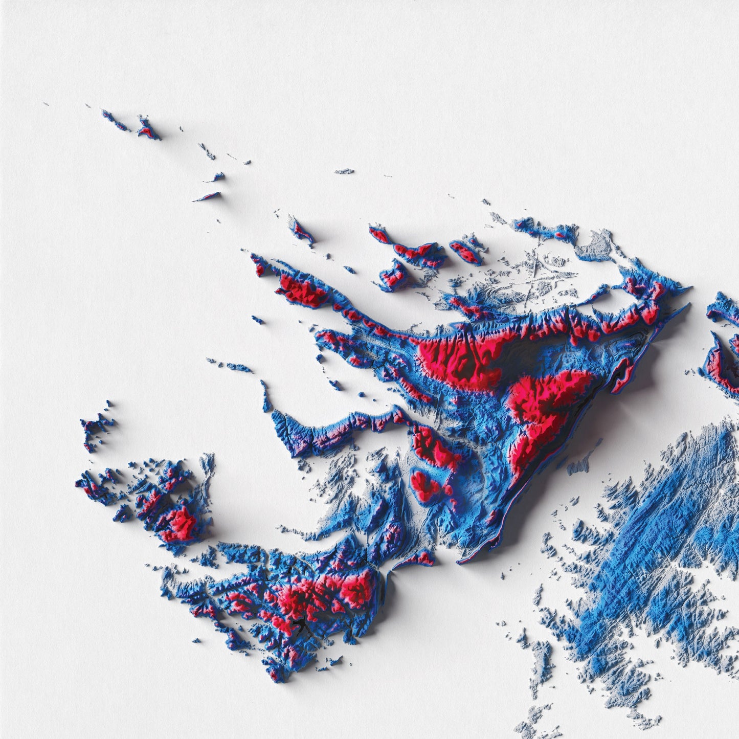
This is a beautiful 2d relief map showing the topography of the Falkland Islands, done in the colours of the Falkland Islands National flag.
The Falkland Islands (Islas Malvinas) are a remote South Atlantic archipelago. With rugged terrain and cliff-lined coasts, its hundreds of islands and islets are home to sheep farms and abundant birdlife. The capital, Stanley, sits on East Falkland, the largest island. The town's Falkland Islands Museum has themed galleries devoted to maritime exploration, natural history, the 1982 Falklands War and other subjects.
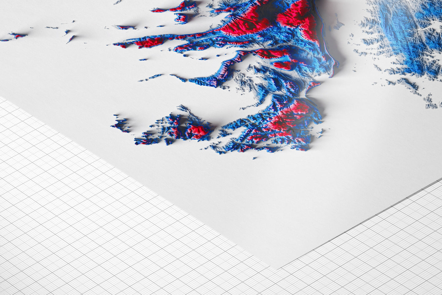
This is a print on paper, meaning it is flat and NOT three-dimensional or textured.
VINTAGE MAP REPRODUCTION: Add a touch of class to any room with this beautiful stylish decorative print. Everyone loves a good looking map!
QUALITY INKS: Printed using long-lasting pigment ink
ARTWORK MADE TO ORDER IN THE UK: Reprint made only when you order it. Every map will have minor adjustments to optimise it for print
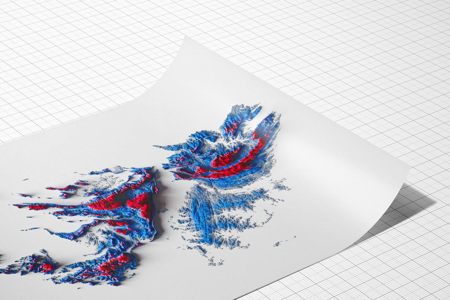
FRAME READY: This unframed poster is shipped in a poly sleeve inside a thick postal tube, ensuring it is delivered crease-free. Print made to fit standard frame sizes